
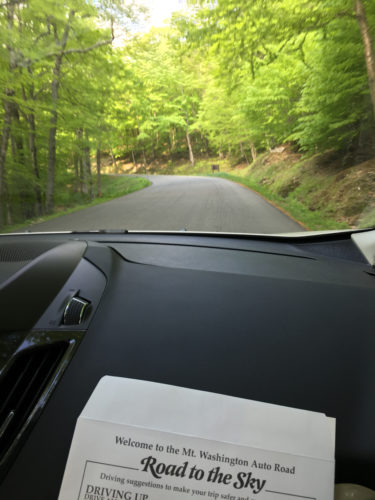
Happy 41st birthday to Mom! We started our morning rather early to drive to Mount Washington. Mt. Washington is the highest elevation in New England. You drive up a 7 mile winding road to get to the top. The road is interesting because you pass through different climate zones. At one point, called Tree Line, trees stop growing. It is a cool thing to see the transition. We listed to an audio CD about the road both up and down the mountain.
It was very foggy at the top. We were up in the clouds!
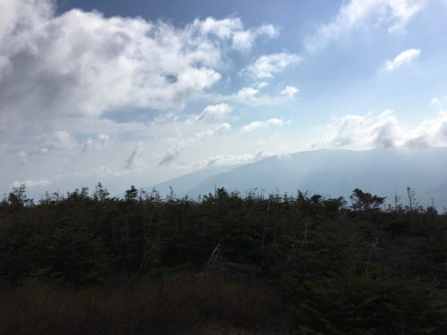
You couldn’t even see the top of the stairs once we got out of the can in the parking lot.

We climbed up the rocks to the official summit of the mountain at 6256 ft about sea level. It was very windy and cold.

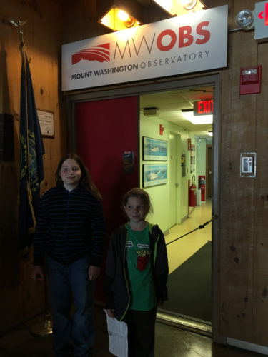
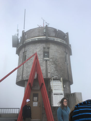
We headed inside for some warmth and a behind the scenes tour of the Mt. Washington Observatory. Since they have extreme weather on the mountain this is a great place for a 24 hour a day weather monitoring station.
We learned how the equipment works and that these paper discs record the weather during a 24 hours period. There are computer backups but this is a great graphic of the weather. We got to see some discs from the extreme days with high winds.
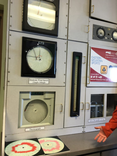
This is a very old barometer. We learned that the instruments have to be extreme as well. Their wind vane in called the torpedo and they have to keep it heated so ice doesn’t form on it.

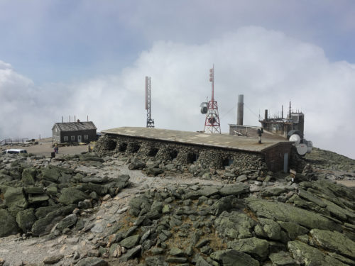
Our on the observation deck you can look up and see the highest pontoon the mountain where the equipment is located.
We climbed the stairwells to the top. Sorry the sun was in my eyes.
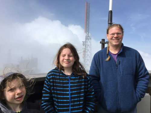
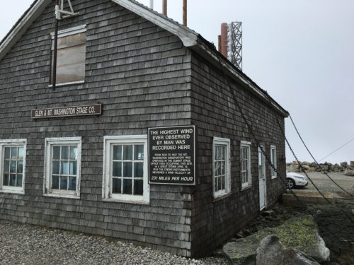
The cloud blew away just long enough to get a photo of some of the buildings up top. They have to be built so they don’t blow away. The highest recorded wind speed was 231 mph! a few weeks ago they recorded 109!
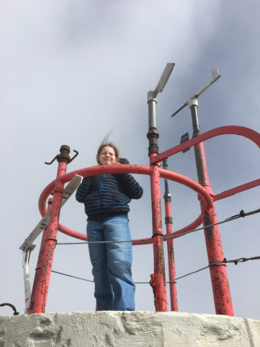
We even got to climb the last ladder up to the torpedo and other instruments. Ice will form on the equipment and red railings and they have to beat it off with hammers!

The TRUE highest pointing New England!
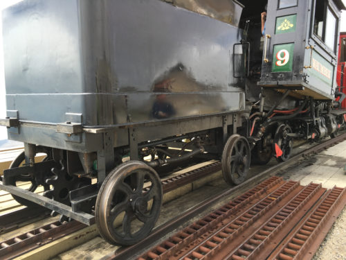
After our tour we checked out the views and saw the Cog Railway coming up the mountain.


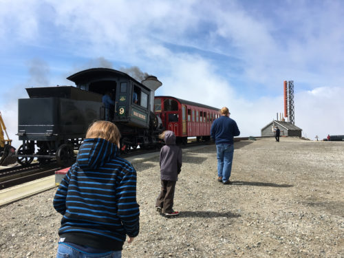
What an amazing contraption. It has a giant gear that slots into a track and the engine pushed it up the mountain. This is the coal operated engine.
This building is chained down to keep it safe. The original one blew away in the winds once. So now they chained the new one so that doesn’t happen again.
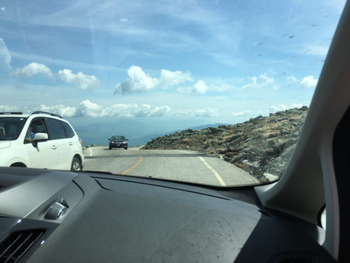
Heading down. The trip down ins terrible on many cars. There are spots to pull over and allow your breaks to cool. Dad did a great job getting us down without issue.
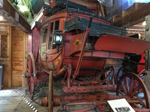
At the bottom we saw some of the old coaches that the horses would take up the mountain. People have used a lot of fun ways to get up the mountain over the year. Today was Alton Weagle Day and there were about 20 people hiking up the road with a “first” way to do it. One guy was dressed at the Grinch, another as a hotdog, one couple was dressed at Red Sox players tossing baseball the entire time! It was fun to see all the people making history.
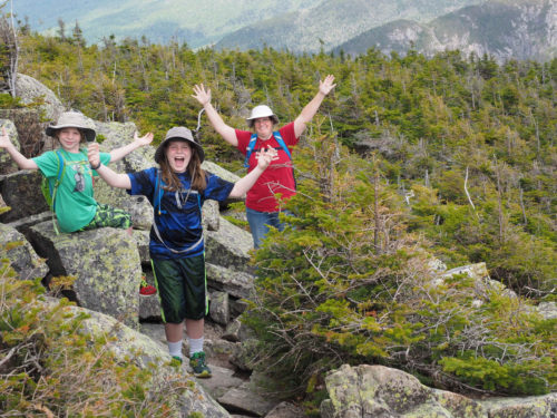
To continue with Mom’s birthday we headed to Cannon Mountain to take the tram up and hike down the 1.7 mile trail.
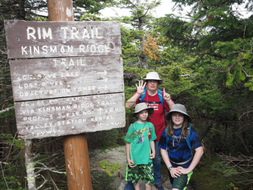
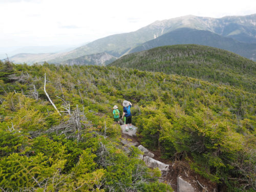
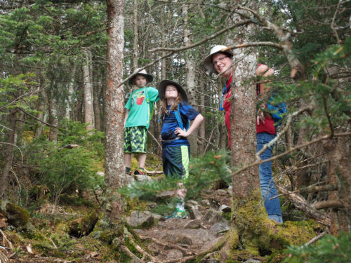
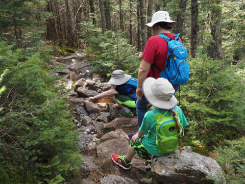
We were well prepared with water and snacks for the 1.7 miles down. Someone told us the average person takes 2.5 hours to go down. We looked at them like they were nuts. Apparently they were not kidding! It started as a pretty hike in the trees. We followed the blue blazes and wandered forth.
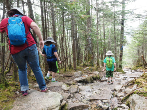
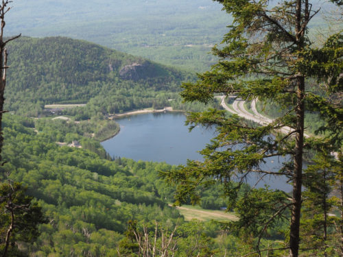
Dad played caboose and took lots of photos. See that road on the left, that is the goal!
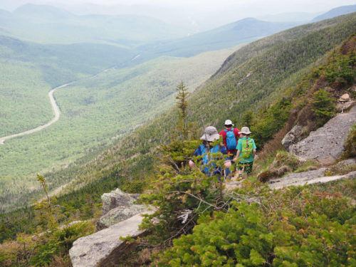
The rocks got bigger and bigger. We were hiking down the wash out!
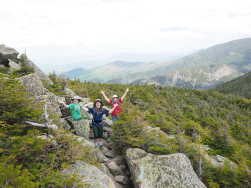
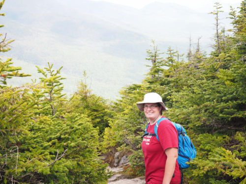
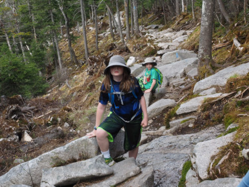
Still excited and having a blast.
We came across lots of hidden ice patches that haven’t melted yet. The temps at the top were in the 60s and towards that ROAD were in the upper 80s.

As we went lower all that ice was melting and running down the rocks. This made for a slippery time.
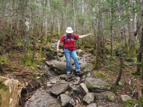
Some of the down was steep and balance was key. Mom fell once. Dad fell once. I slipped several times and was saved by a tree branch and a tree from what I felt was certain death!
Some areas you could avoid the rocks and have trees to hang on to.
Others you had no choice but to sit on your feet and slide.
We are half way down. That is Echo Lake we are camping in the paved lot to the left of the lake.
It took 2.5 hours to get down as we were told it would. Mom asked an employee later about the milage because she saw a sign that said 2.1 miles versus 1.7. The lady said most people hike UP because it is an extremely tough hike down! OOPS!
