Page, Arizona Area and Glen Canyon National Recreation Area

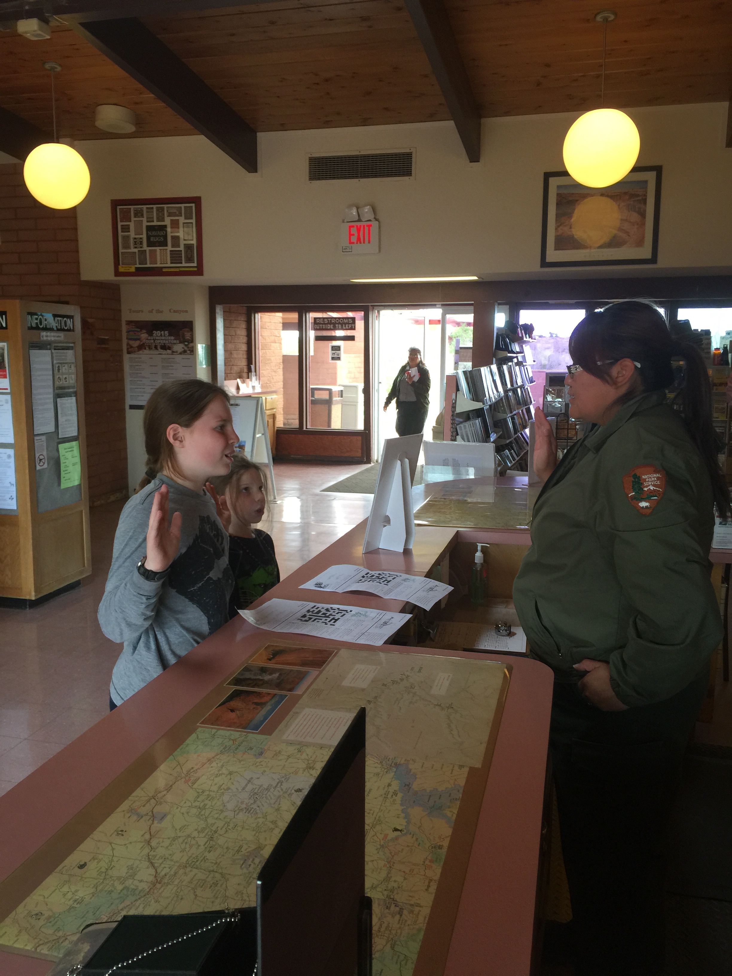
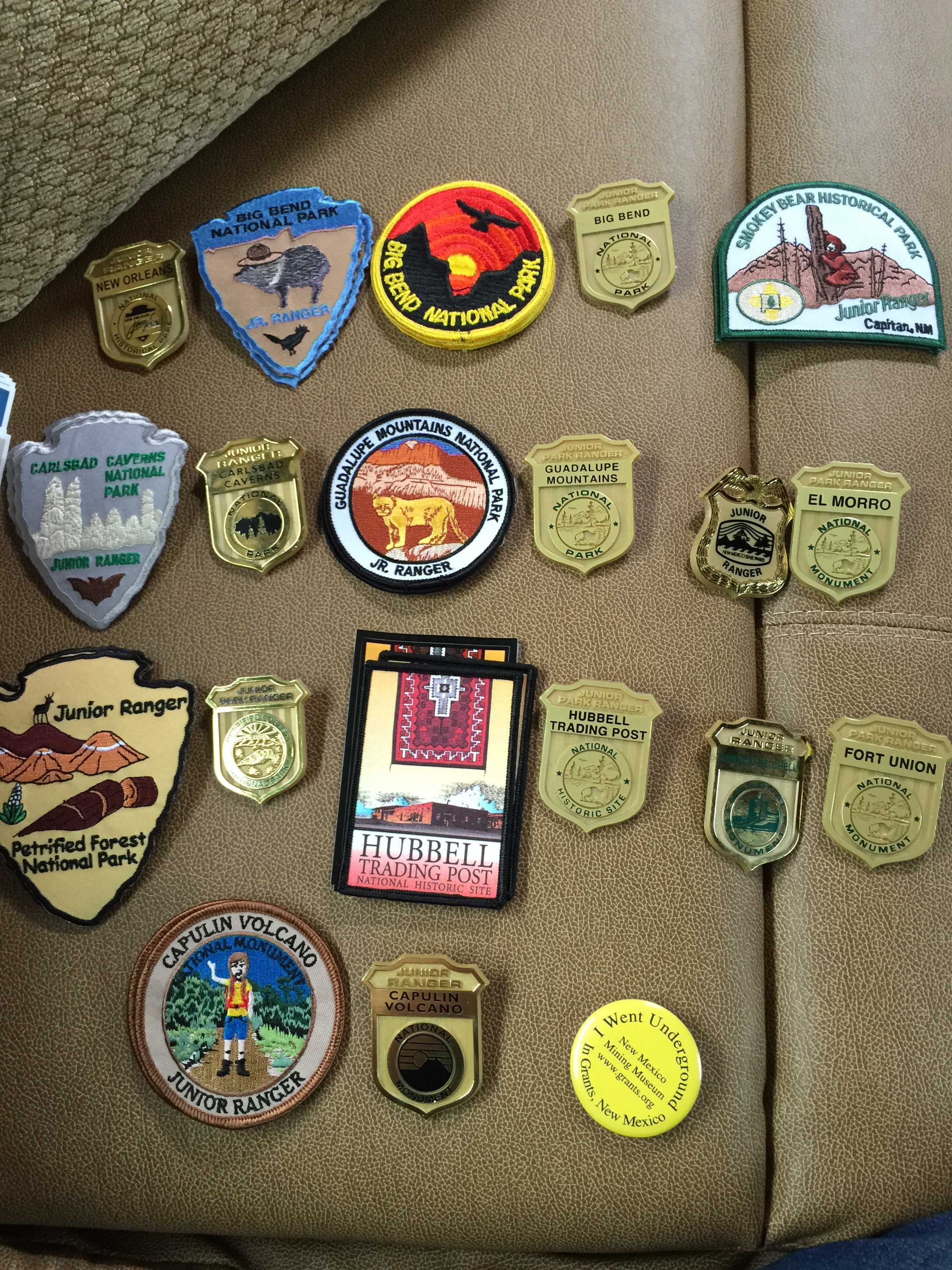
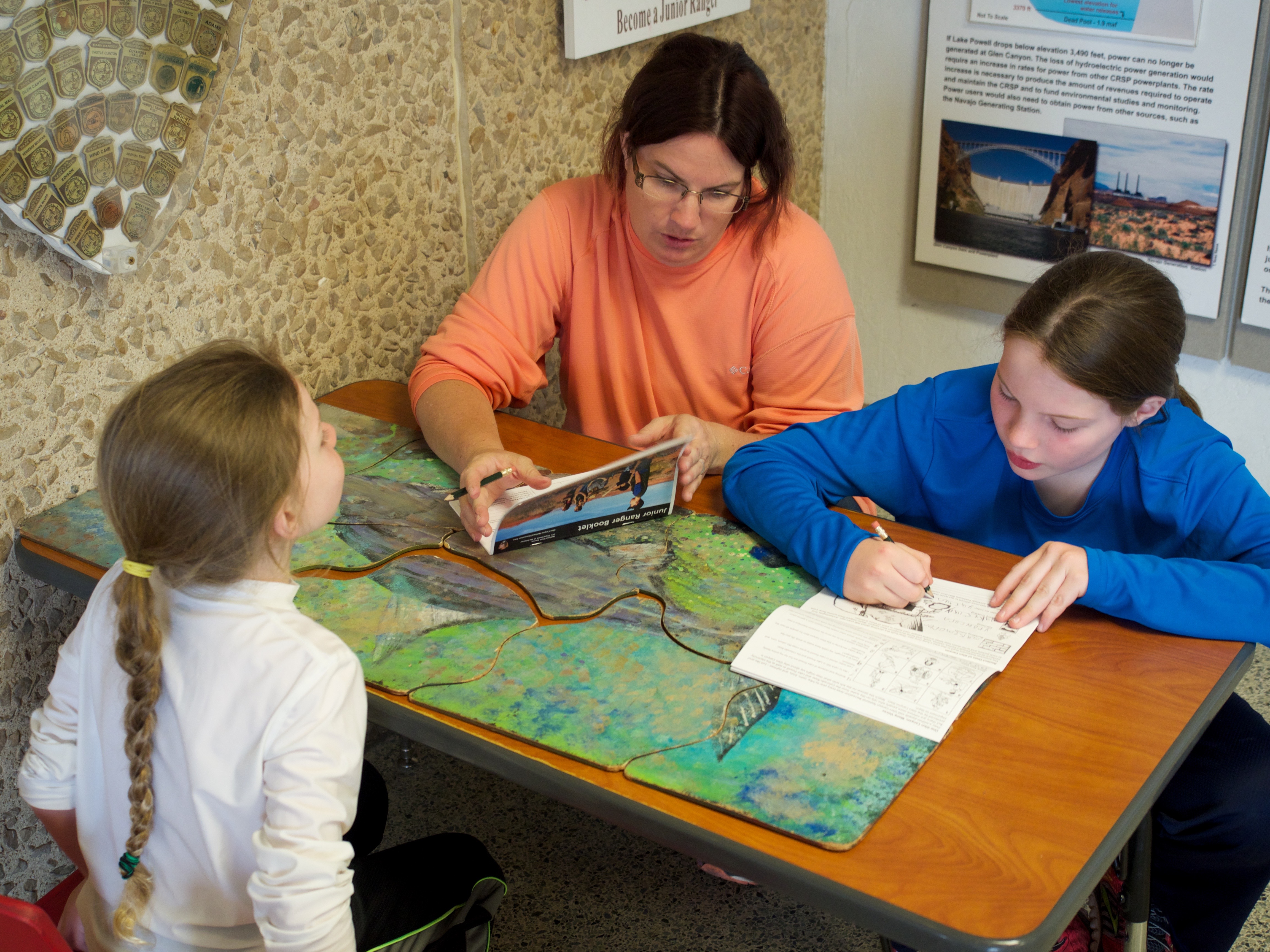
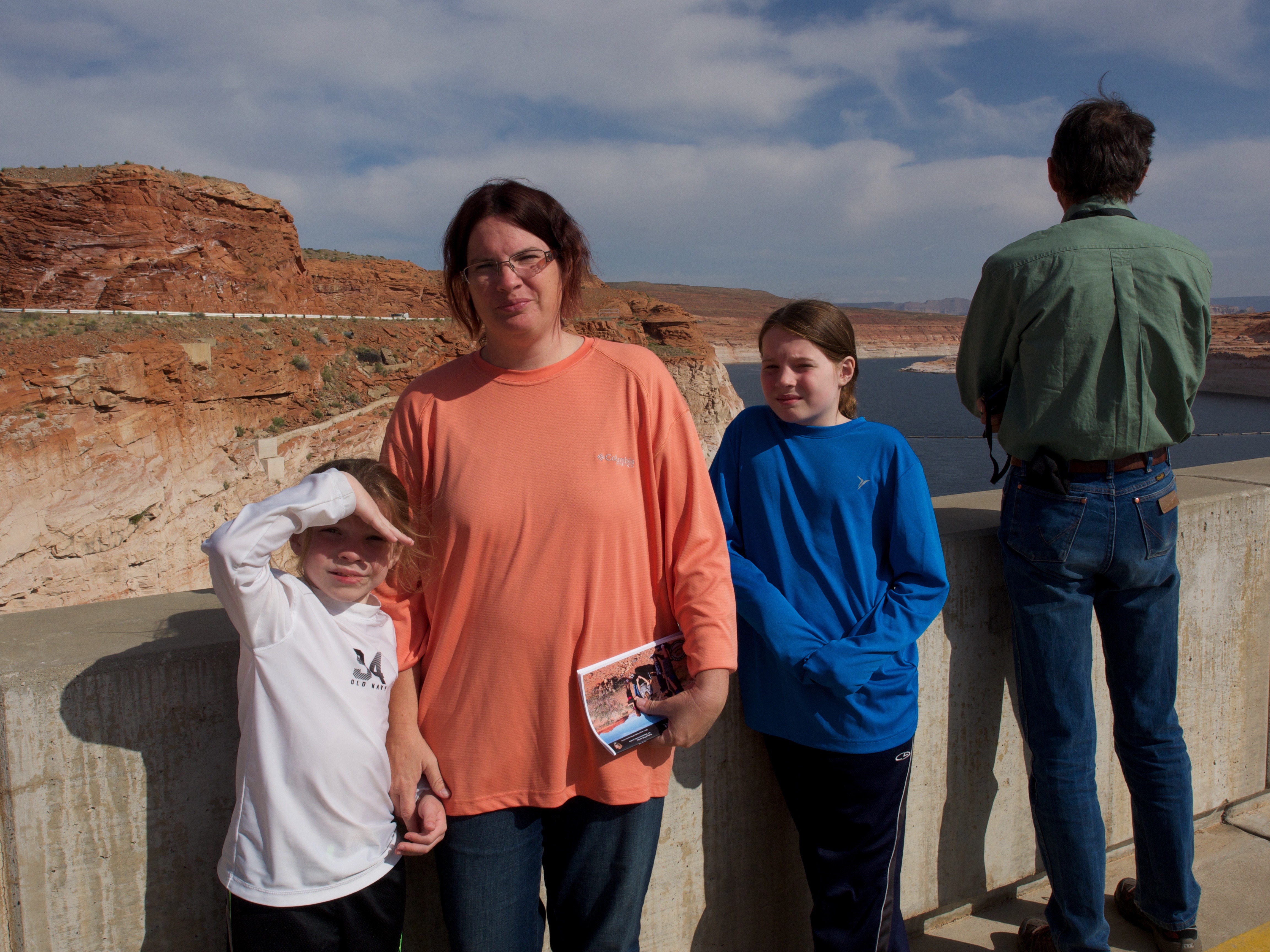
We arrived a day earlier than planned to Page, Arizona. We stopped off for a quick lunch after setting up camp and then explored around before calling it a night. We were up early the next morning and off to take a tour of the Glenn Canyon Dam. We worked on our Junior Ranger books while we waited for our 8:30am tour to begin.

OLYMPUS DIGITAL CAMERA


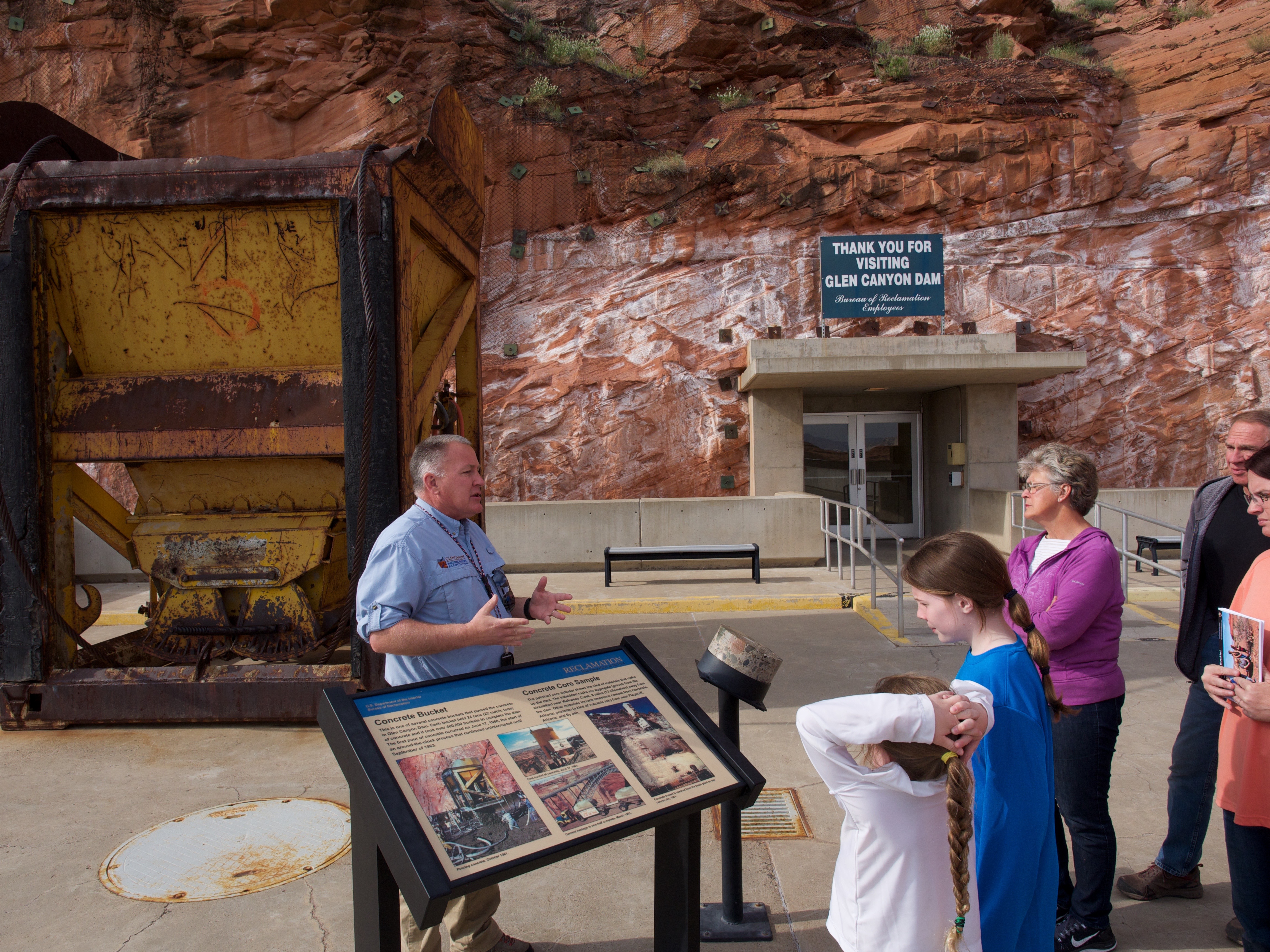
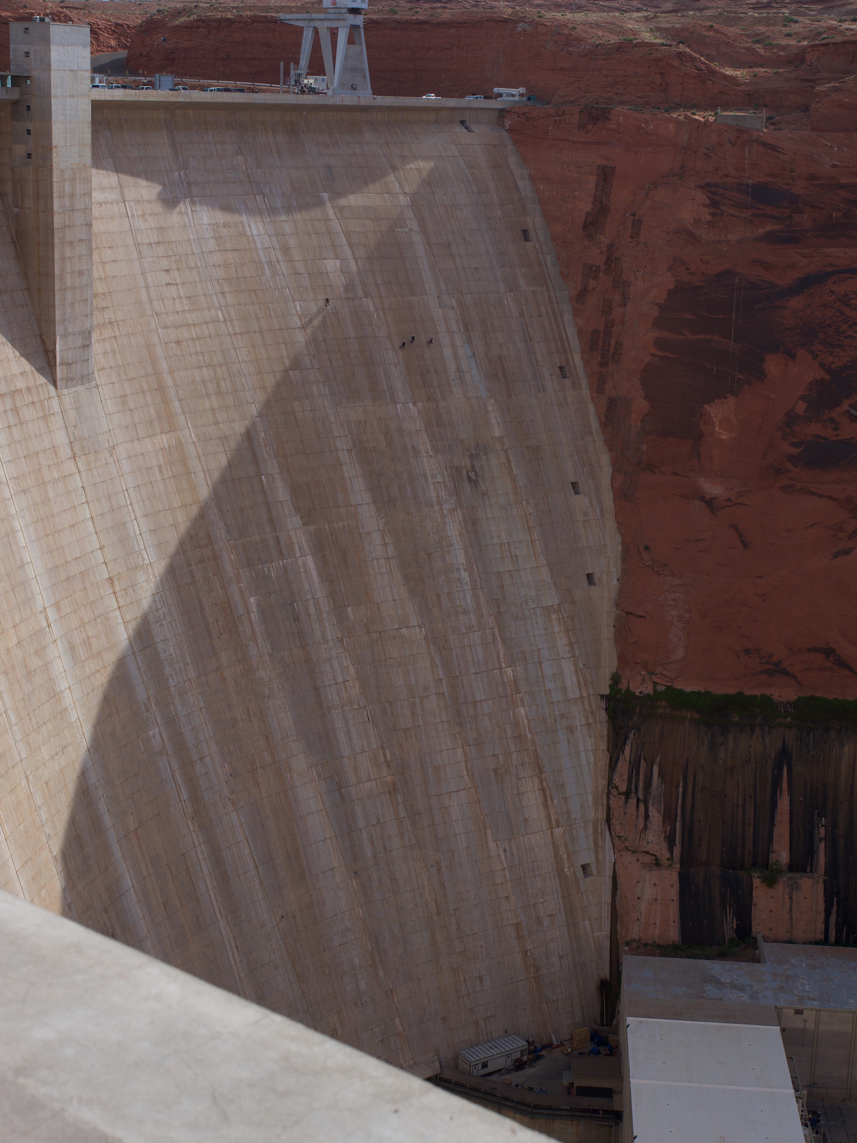
We went up an elevator to the top of the dam and got to walk along the top of it. We learned that this is the first in a series of 7 dams along the Colorado River, next it Hoover Dam near Las Vegas. Hoover Dam is only 16 feet higher than Glenn Canyon Damn but used WAY less concrete.  We even got to see examples of some of the parts in the dam that help to generate the electricity and control water flow.

OLYMPUS DIGITAL CAMERA

The entire town of Page, Arizona did not exist before 1956 and was only establish to build the dam. There was a land trade with the Navajo (since this is a former portion of the Navajo Nation). We are really learning how expansive, isolated and resource free the land is that the US government gave back to the Navajo after the Long Walk.

OLYMPUS DIGITAL CAMERA

We saw men training on how to fix dam issues. They had to repel down the interior of the dam.

OLYMPUS DIGITAL CAMERA

We learned about the 15 foot long bolts driven into the Navajo sandstone to stabilize the walls of the canyon. The sandstone is porous so it “seeps” water from Lake Powell.

OLYMPUS DIGITAL CAMERA

OLYMPUS DIGITAL CAMERA
This giant crane is on a railroad track like system and is moved around to open pins that allow flow through the dam.

OLYMPUS DIGITAL CAMERA


In the dam there are lots of long corridors. The employees use bicycles to get from place to place inside the dam.

OLYMPUS DIGITAL CAMERA


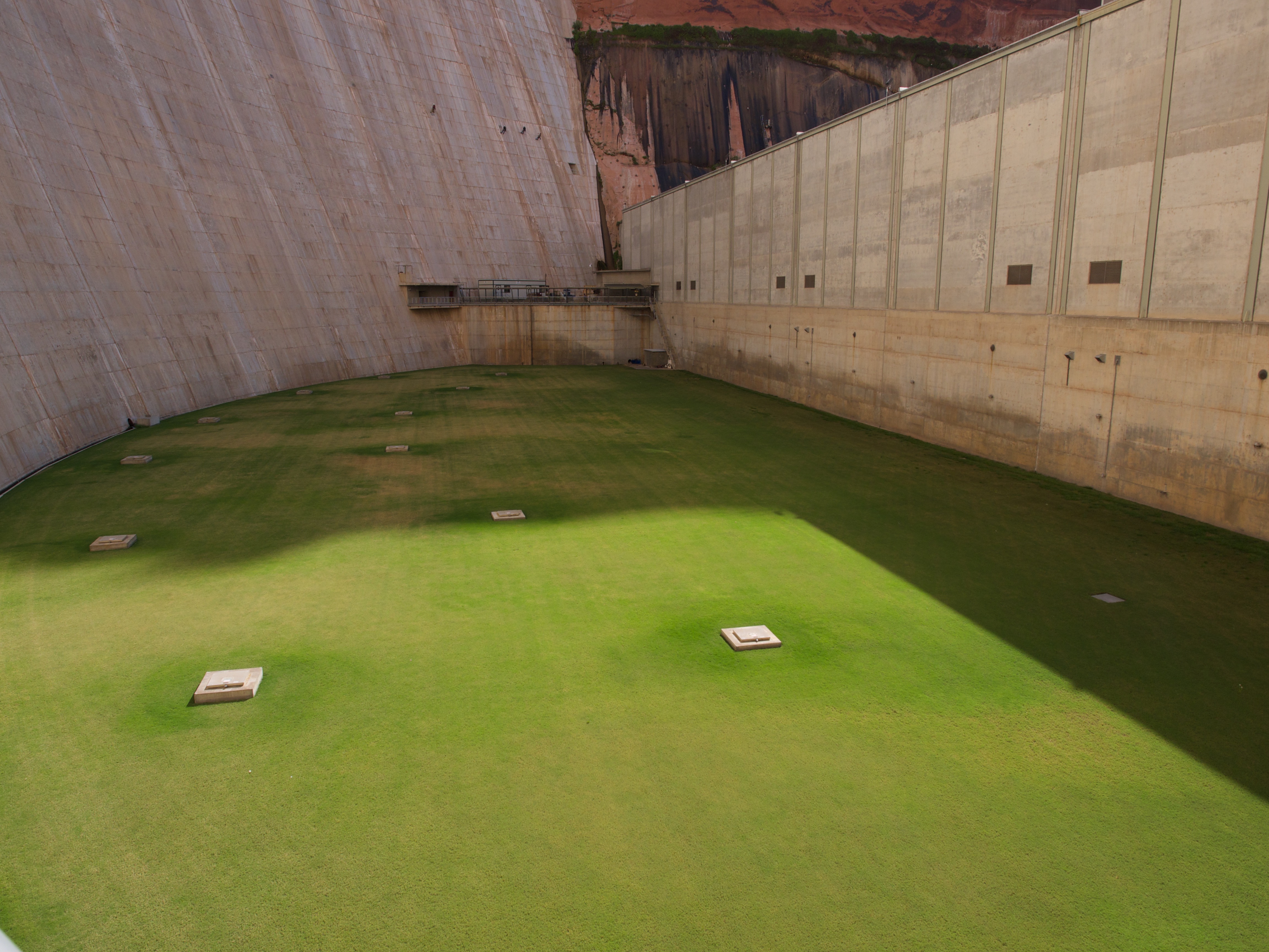
Outside there is actually a giant lawn! Rather than just have a giant concrete place they opted to grow grass.

OLYMPUS DIGITAL CAMERA


The men working on the dam were still out training and slowly going lower on the dam.

OLYMPUS DIGITAL CAMERA

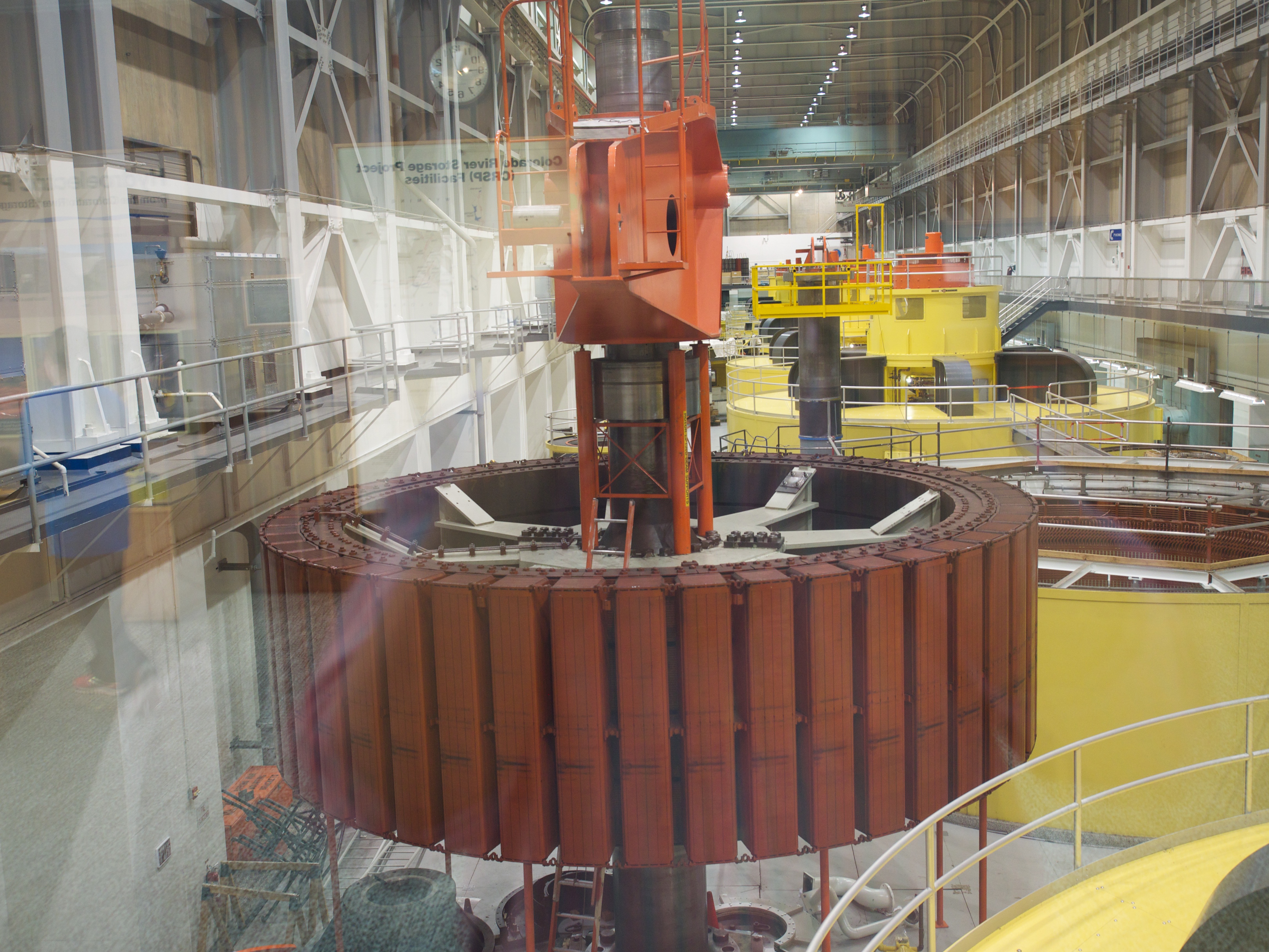
We even got to see part of the inner workings of the dam. We were not allowed in the room but were able to look through glass and take photos.

OLYMPUS DIGITAL CAMERA


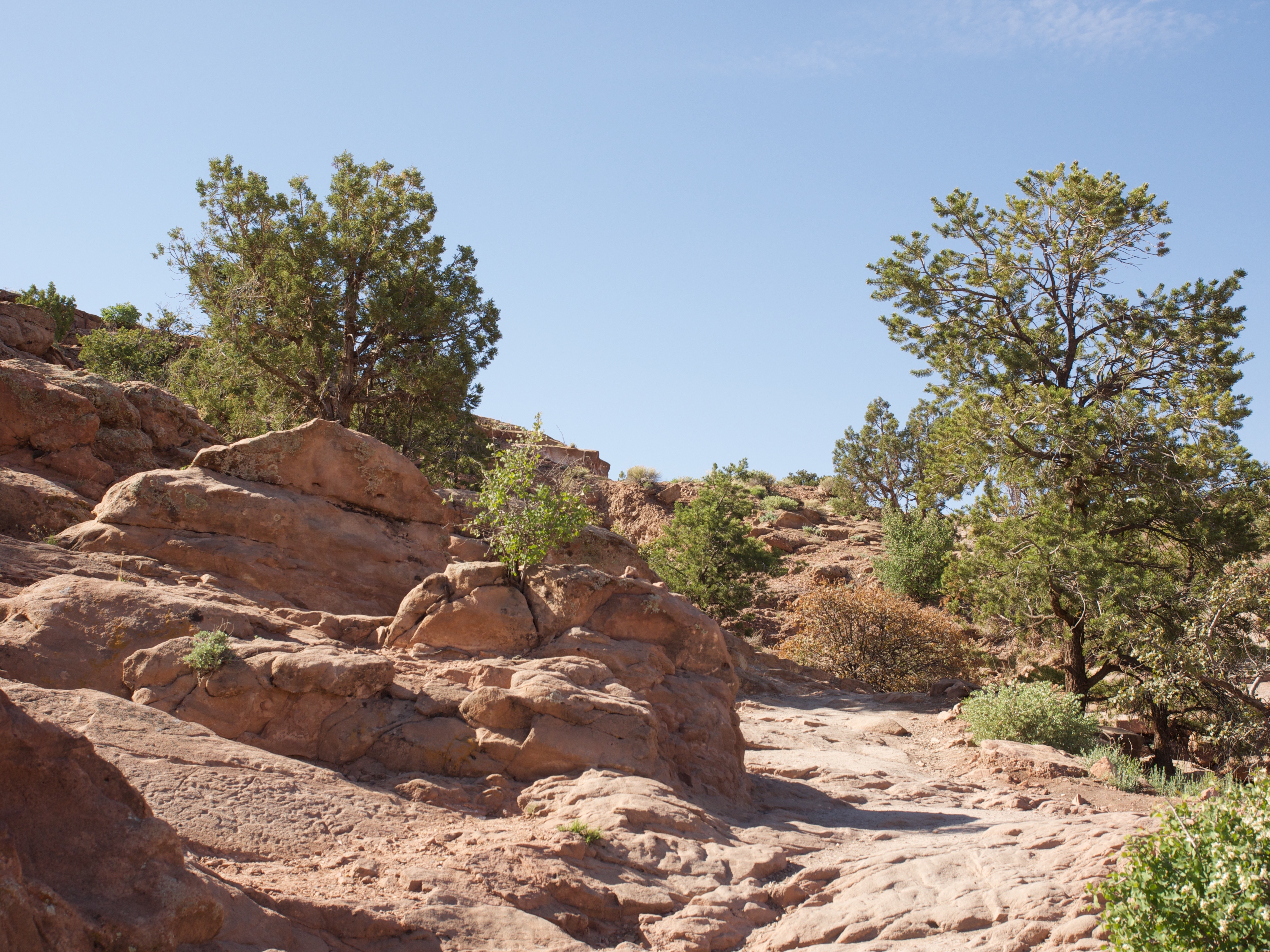
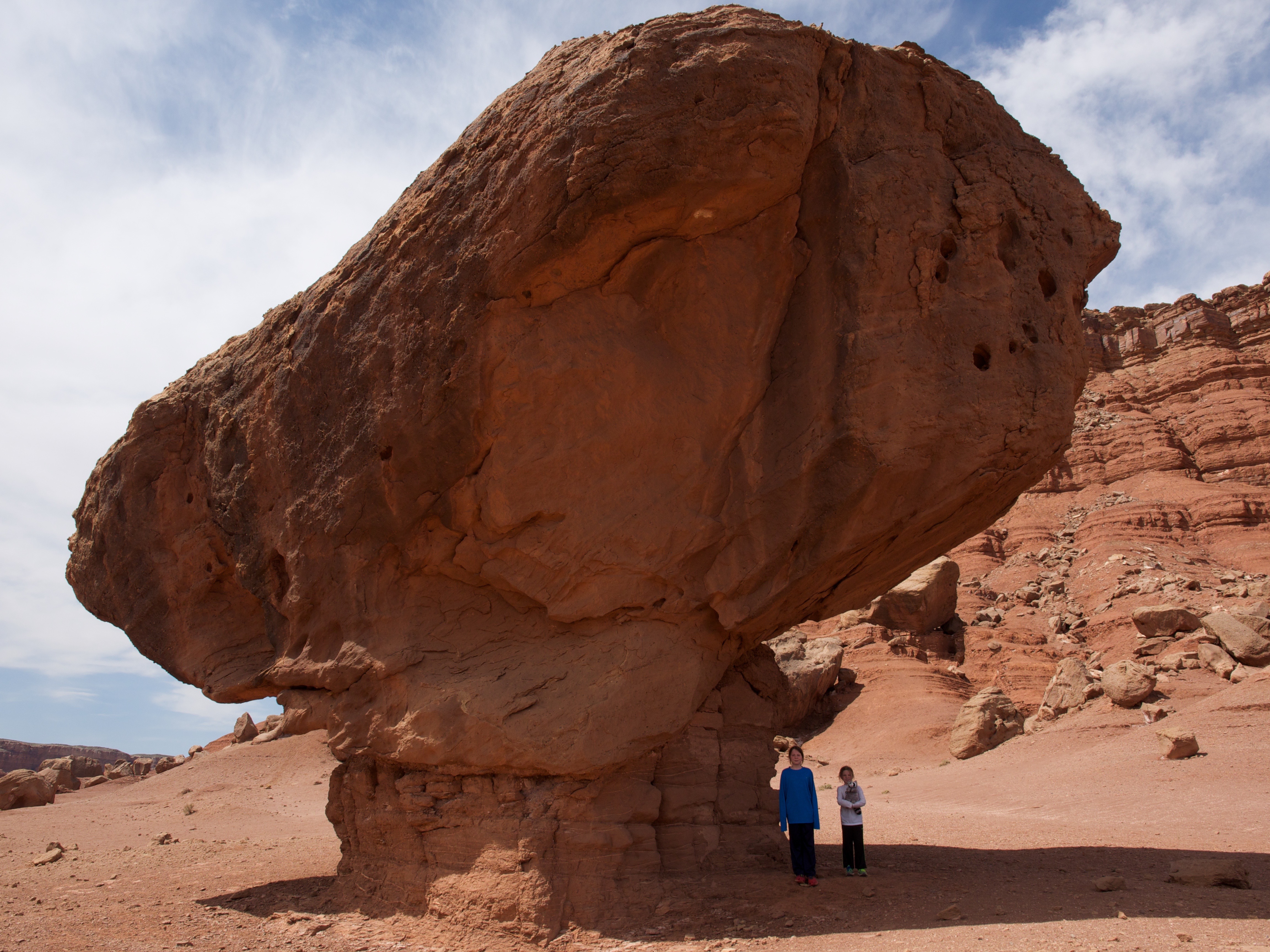
After our tour we headed towards Lee’s Ferry, the only place in a 700 mile stretch of the Colorado river where you can put in a boat. On the way we saw “Balanced Rocks”. Thousands of years ago these boulders fell from the areas above and erosion caused the sandstone below to wash away leaving these HUGE boulders balanced on a little bit of sandstone!

OLYMPUS DIGITAL CAMERA


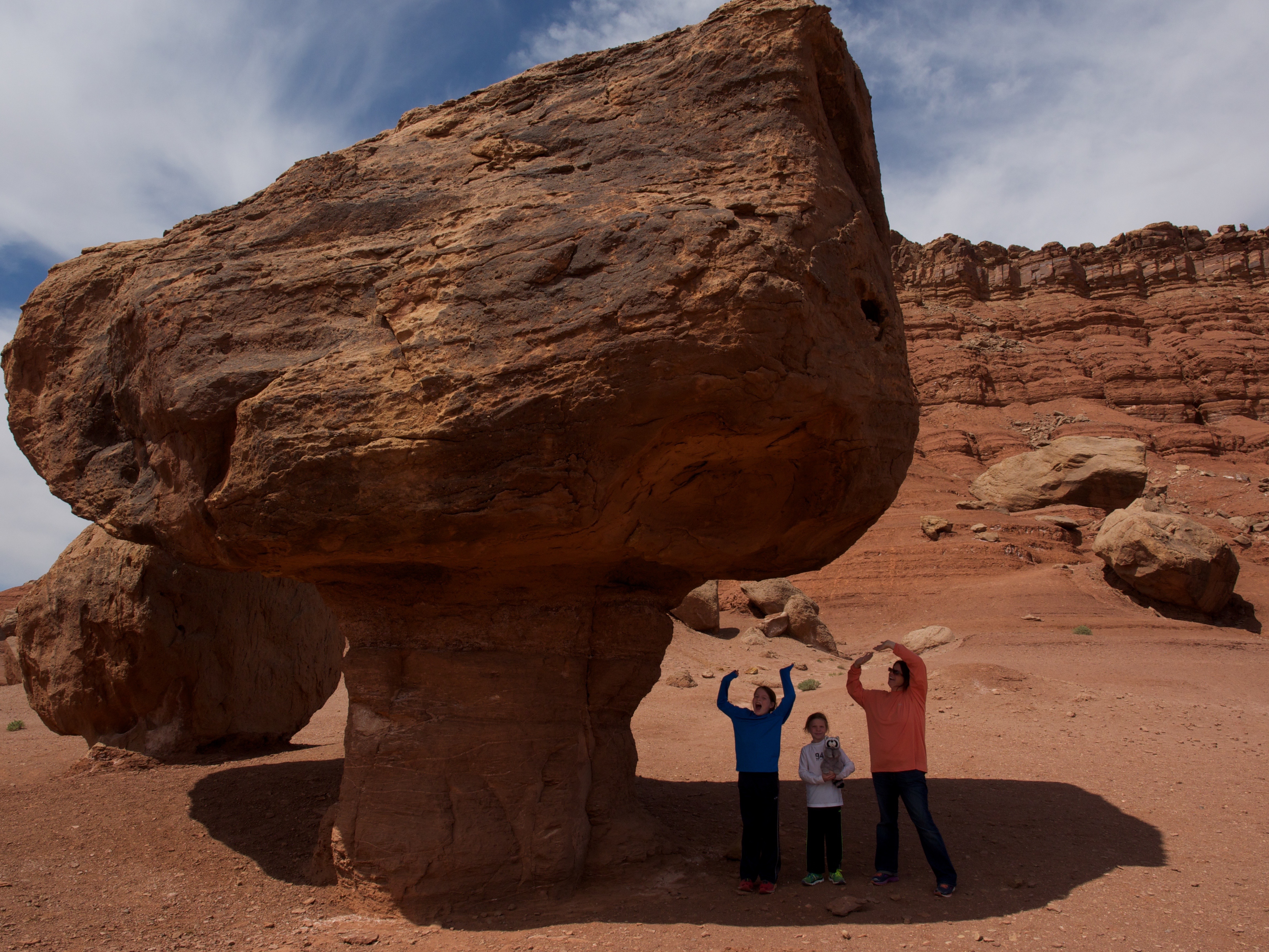
I decided to cli the boulder, just kidding!

OLYMPUS DIGITAL CAMERA


The other one next to it was even bigger!

OLYMPUS DIGITAL CAMERA


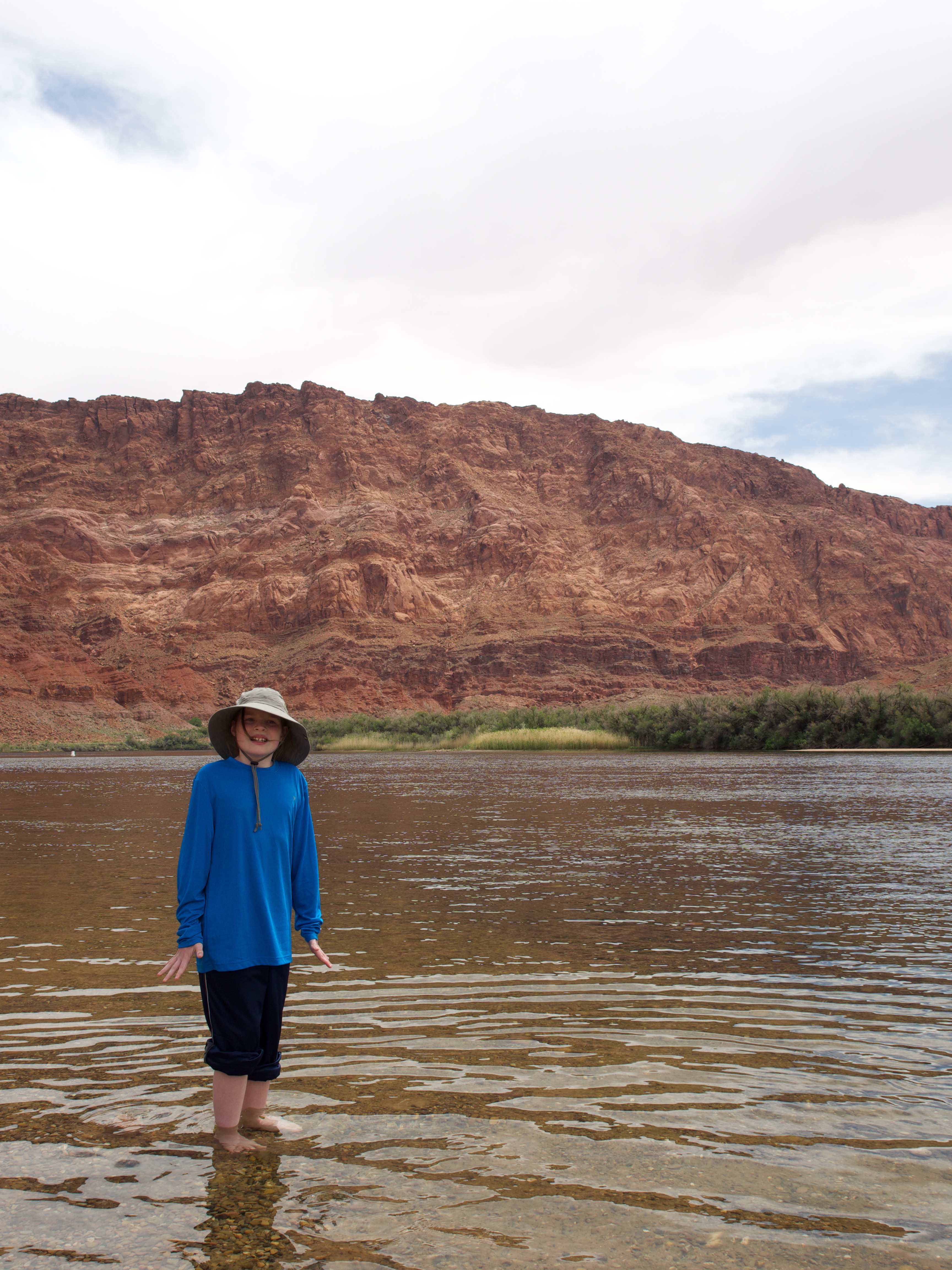
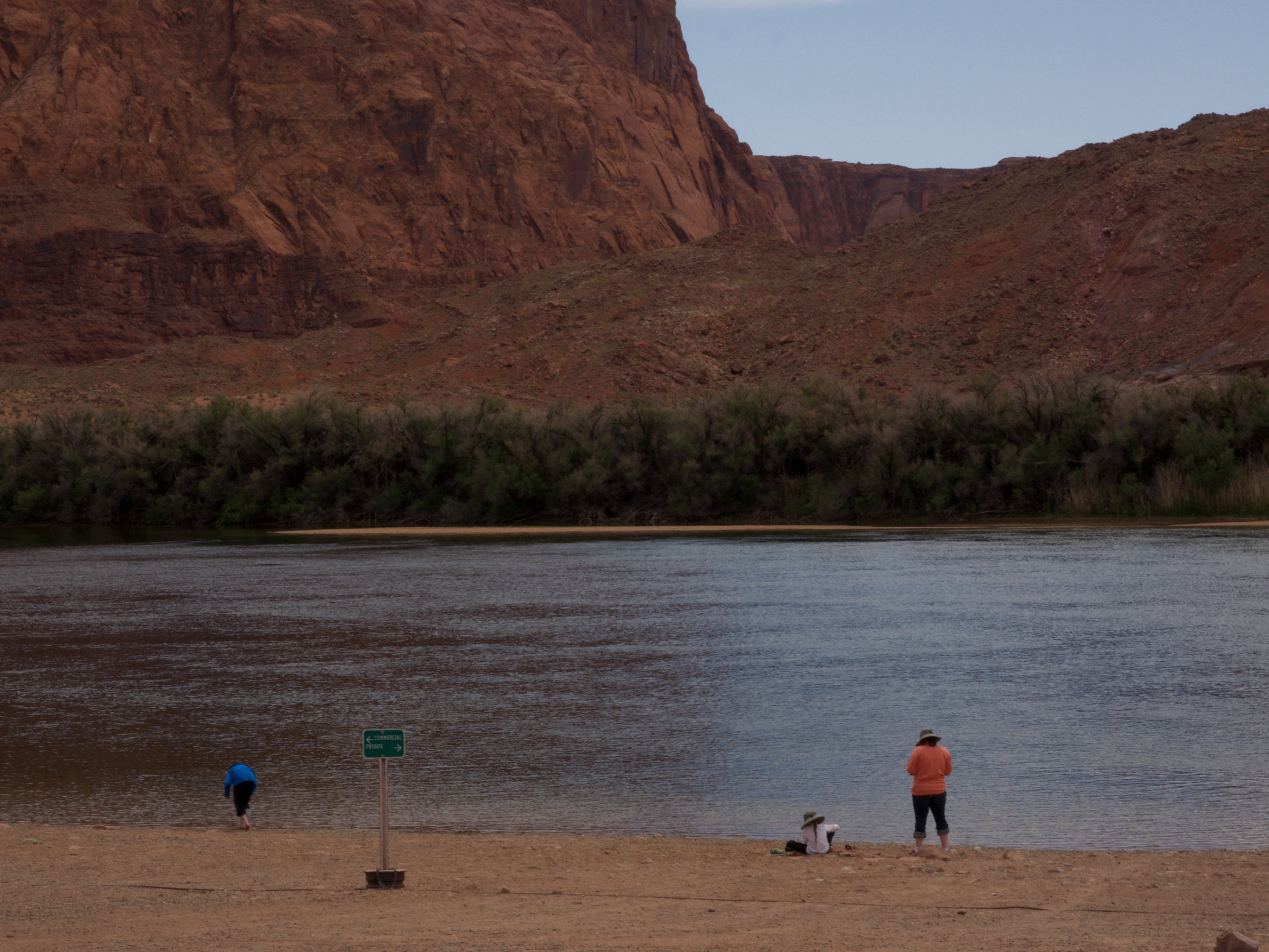
We made our way to Lee’s Ferry and stuck our hands in the Colorado River. It was ICY cold at 47F.

OLYMPUS DIGITAL CAMERA


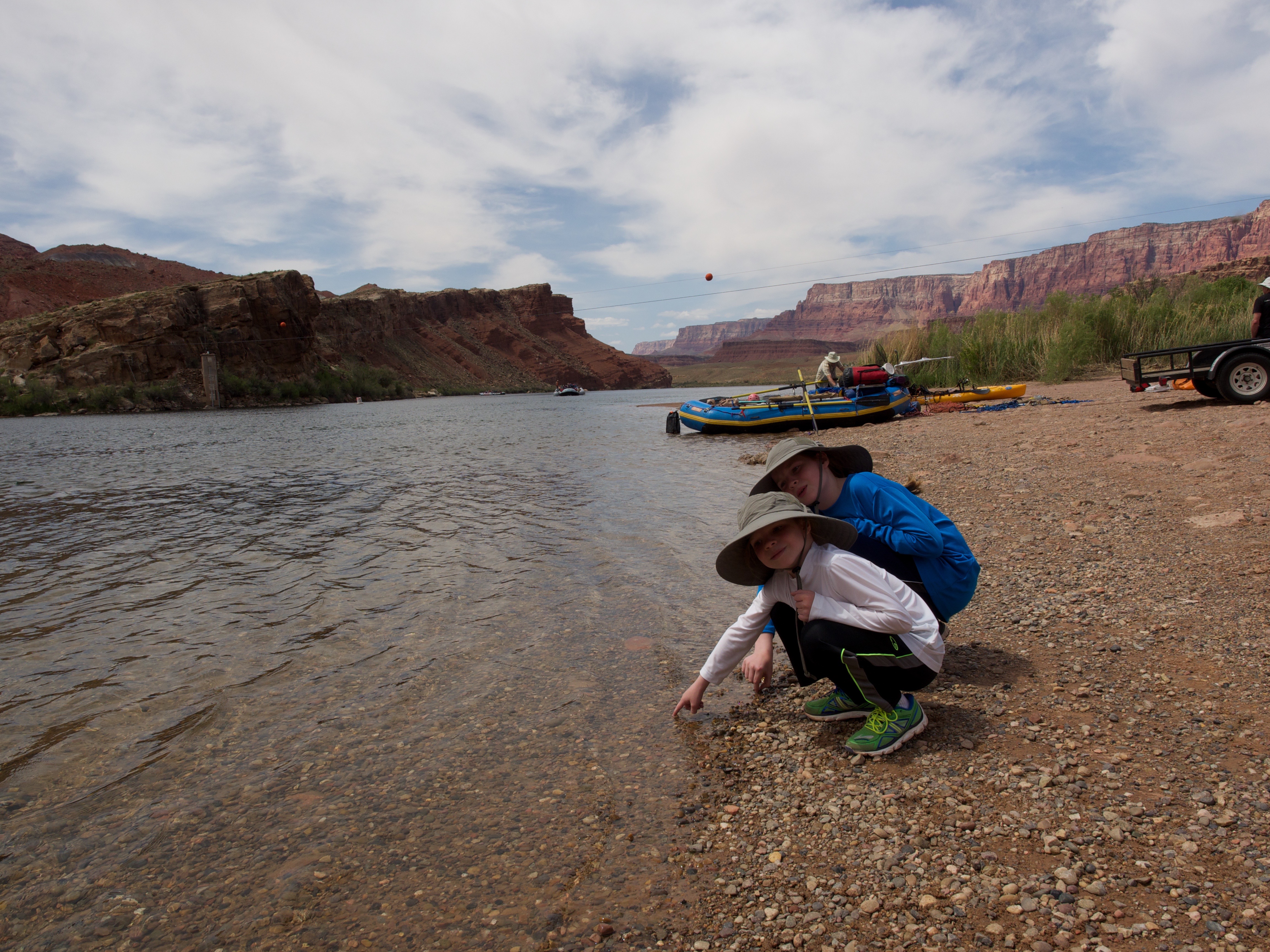
I braved the waters and got my feet wet too!

OLYMPUS DIGITAL CAMERA


We played on the beach a bit and skipped stones (or tried to!) and headed to explore more.

OLYMPUS DIGITAL CAMERA


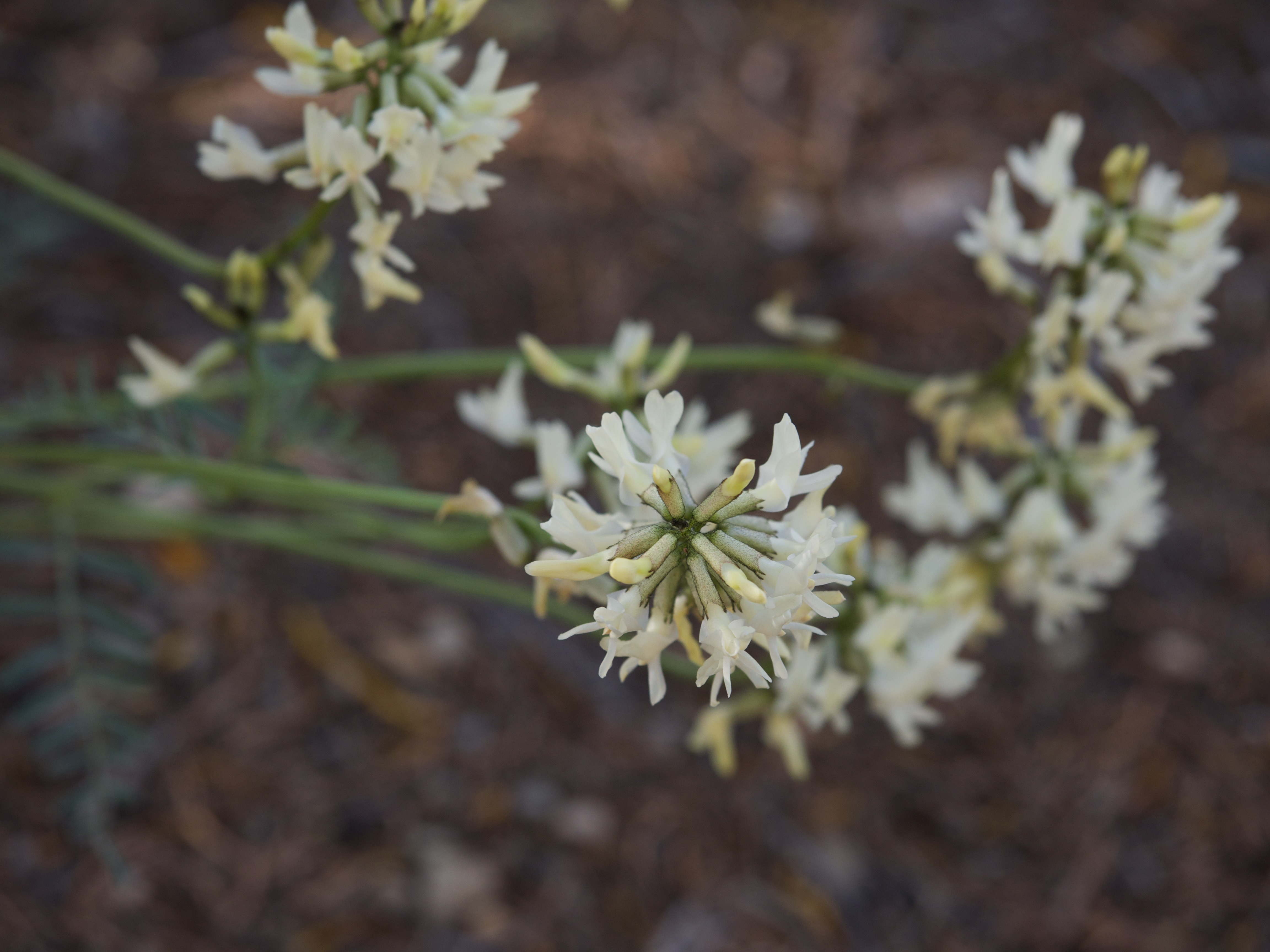
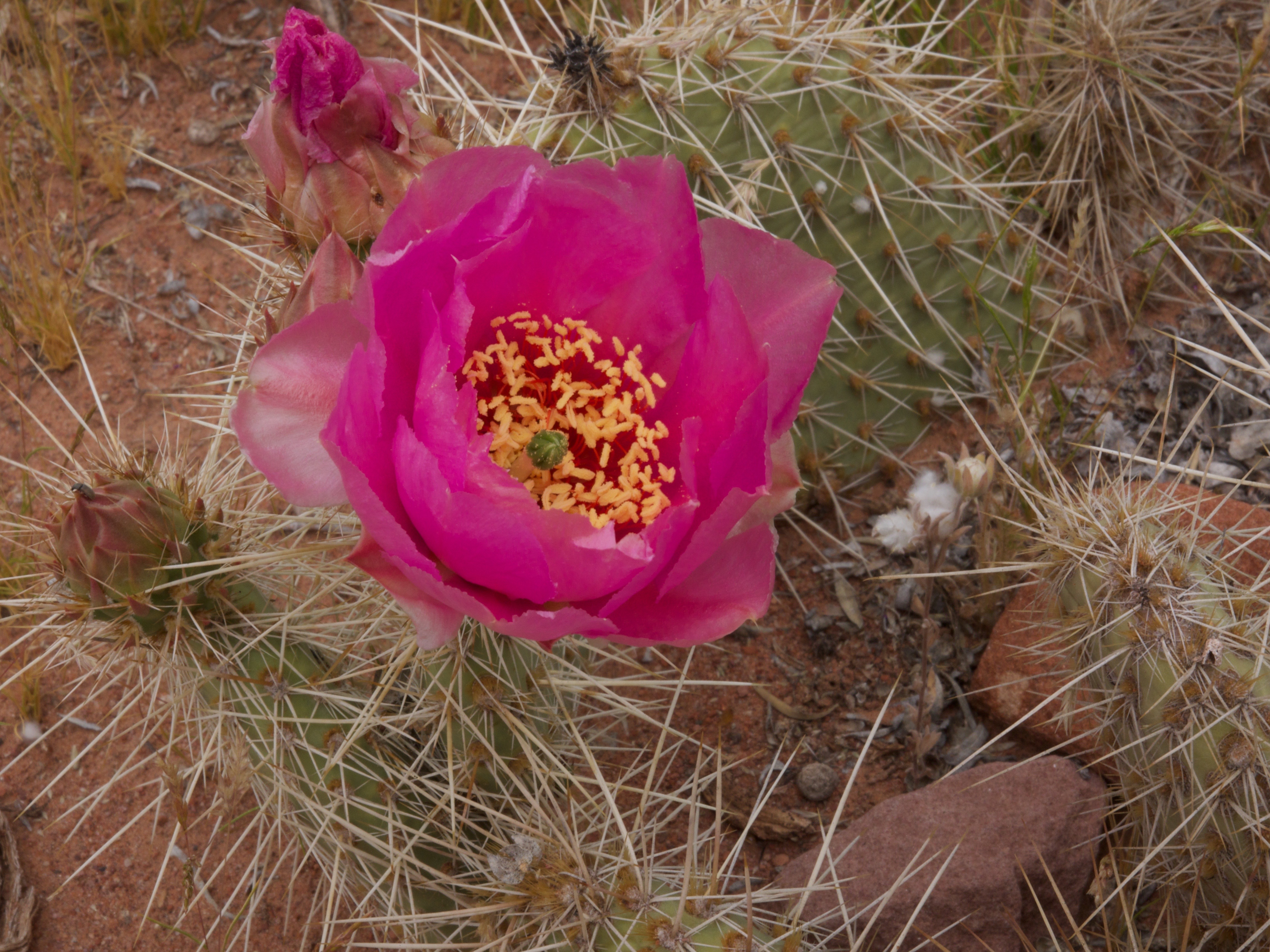
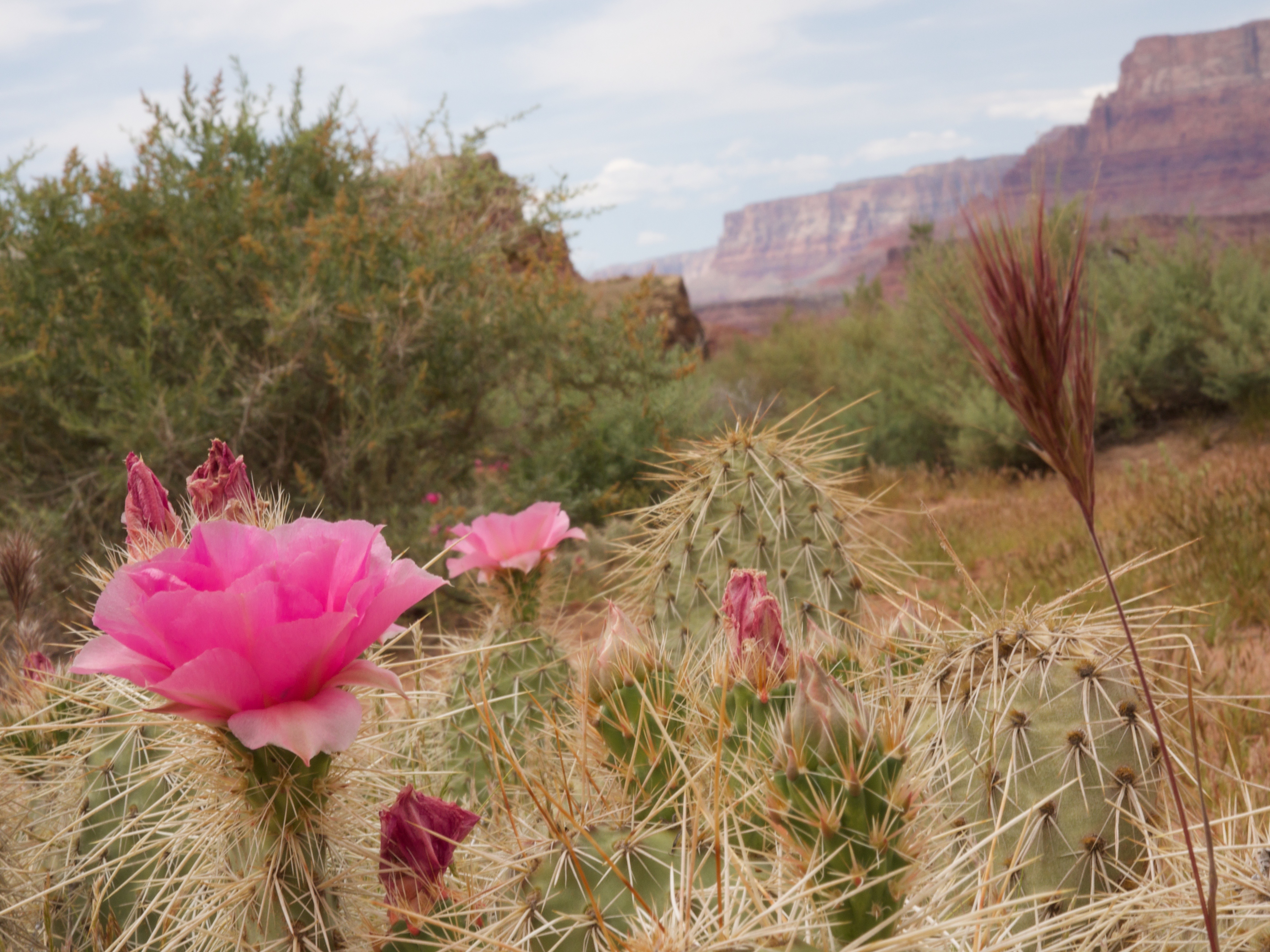
There were lots of cacti in bloom.


OLYMPUS DIGITAL CAMERA

OLYMPUS DIGITAL CAMERA

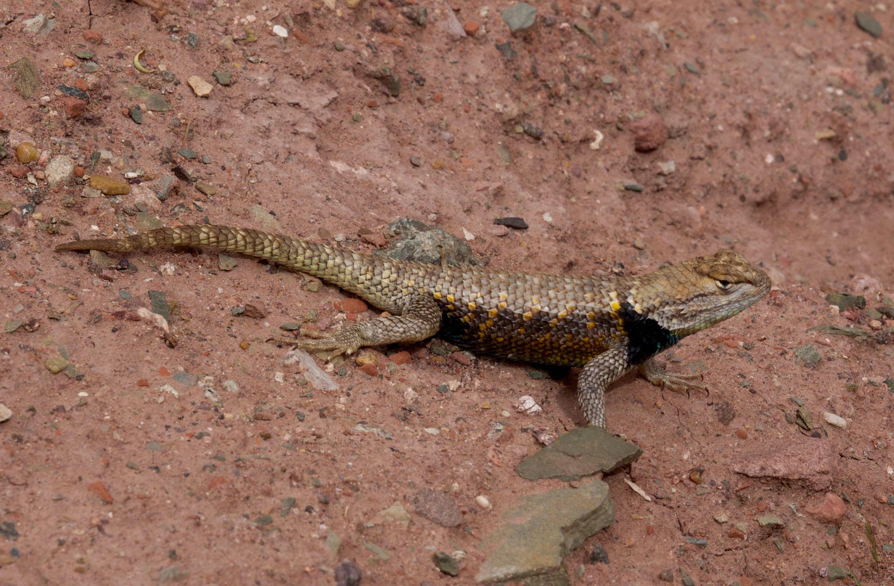
I spotted lots of cool lizards.

OLYMPUS DIGITAL CAMERA

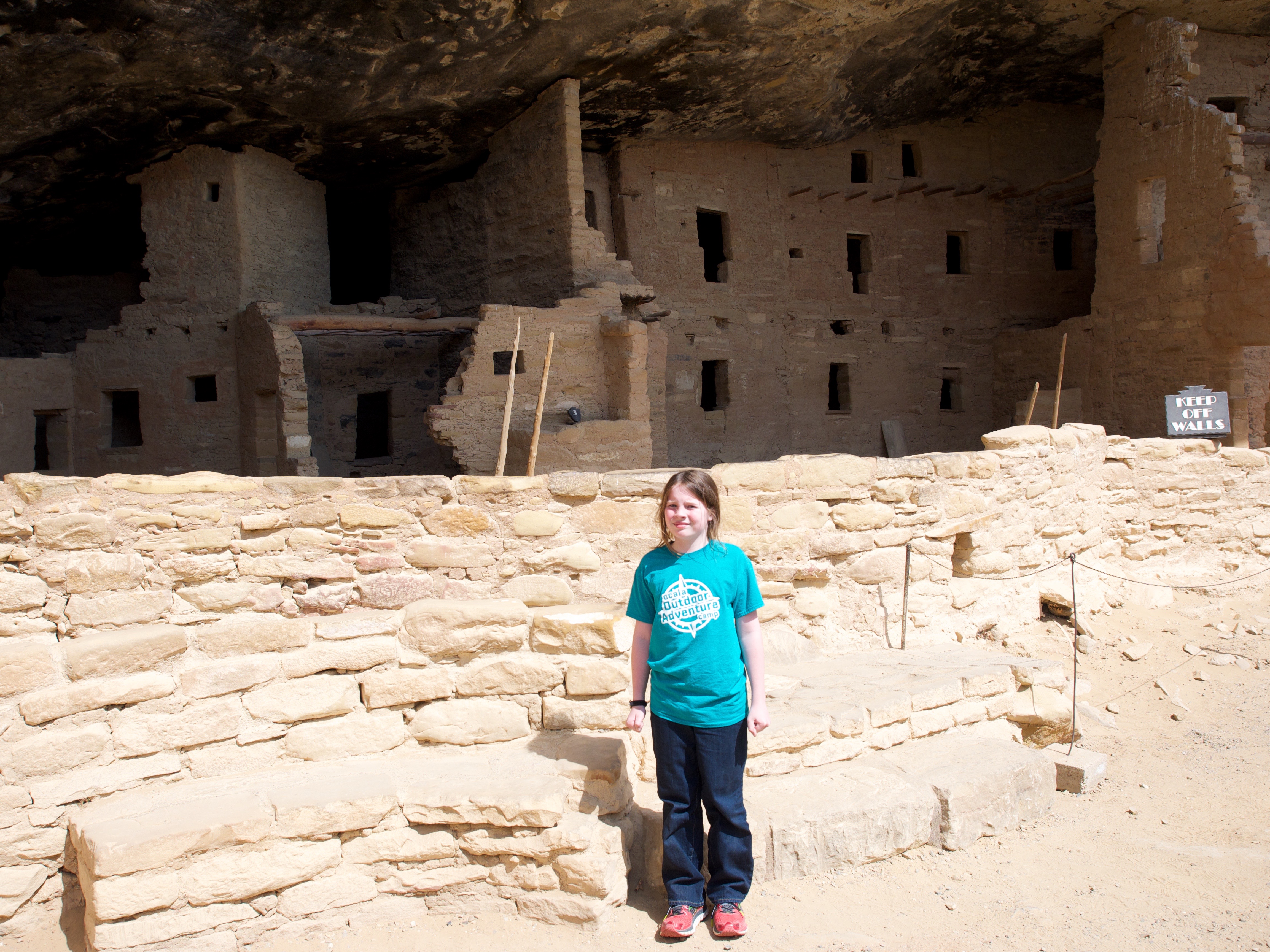
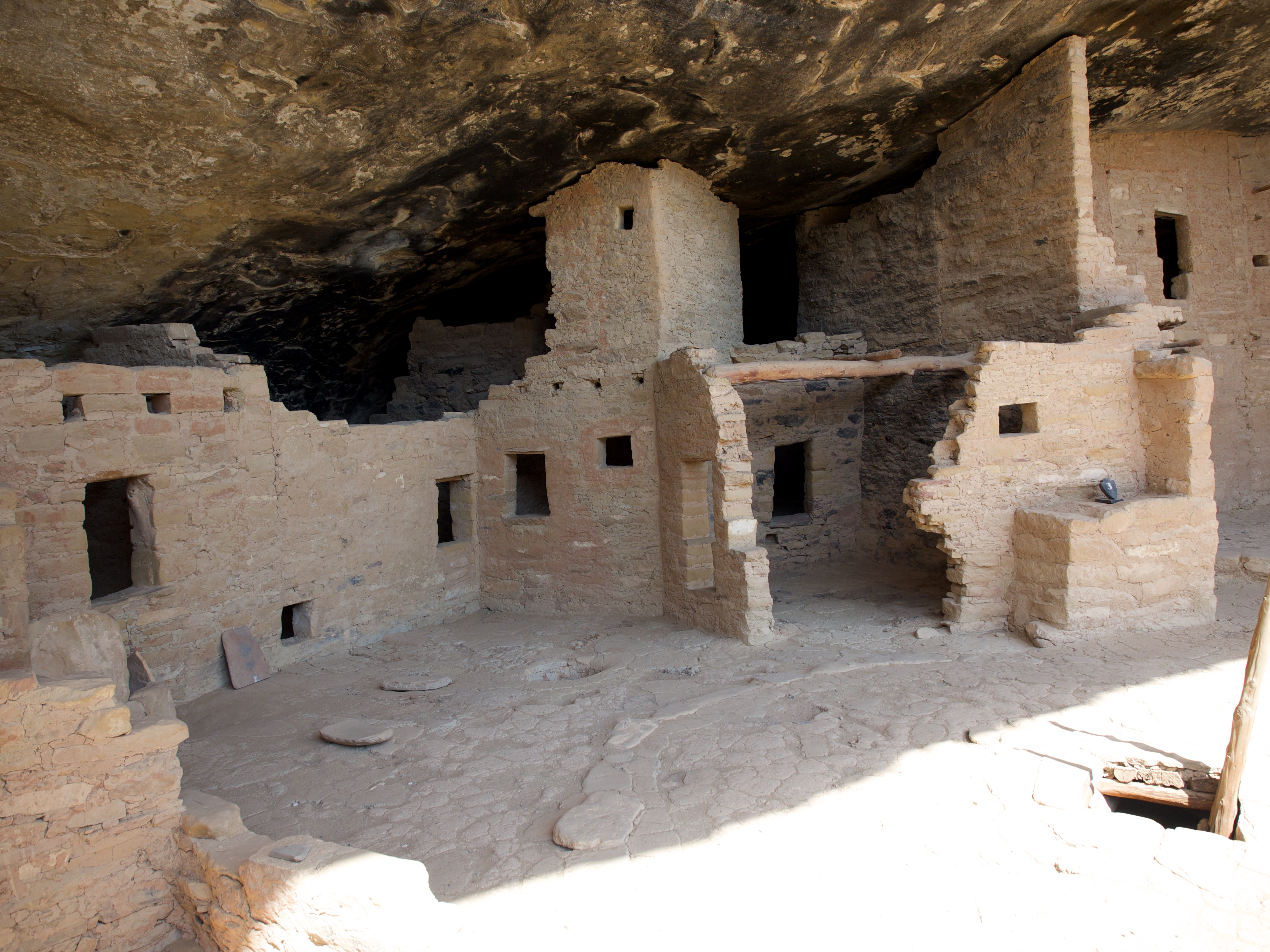
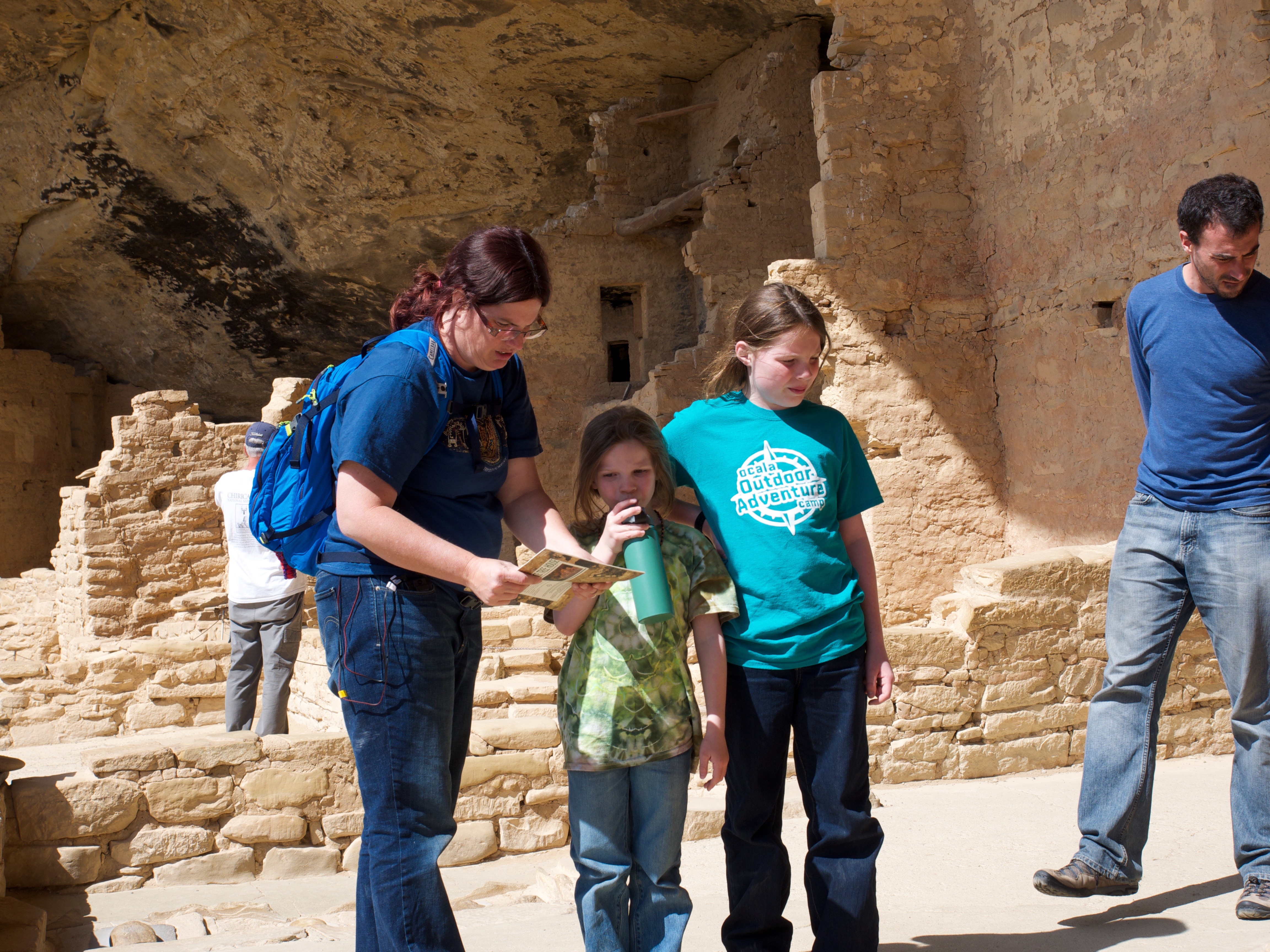
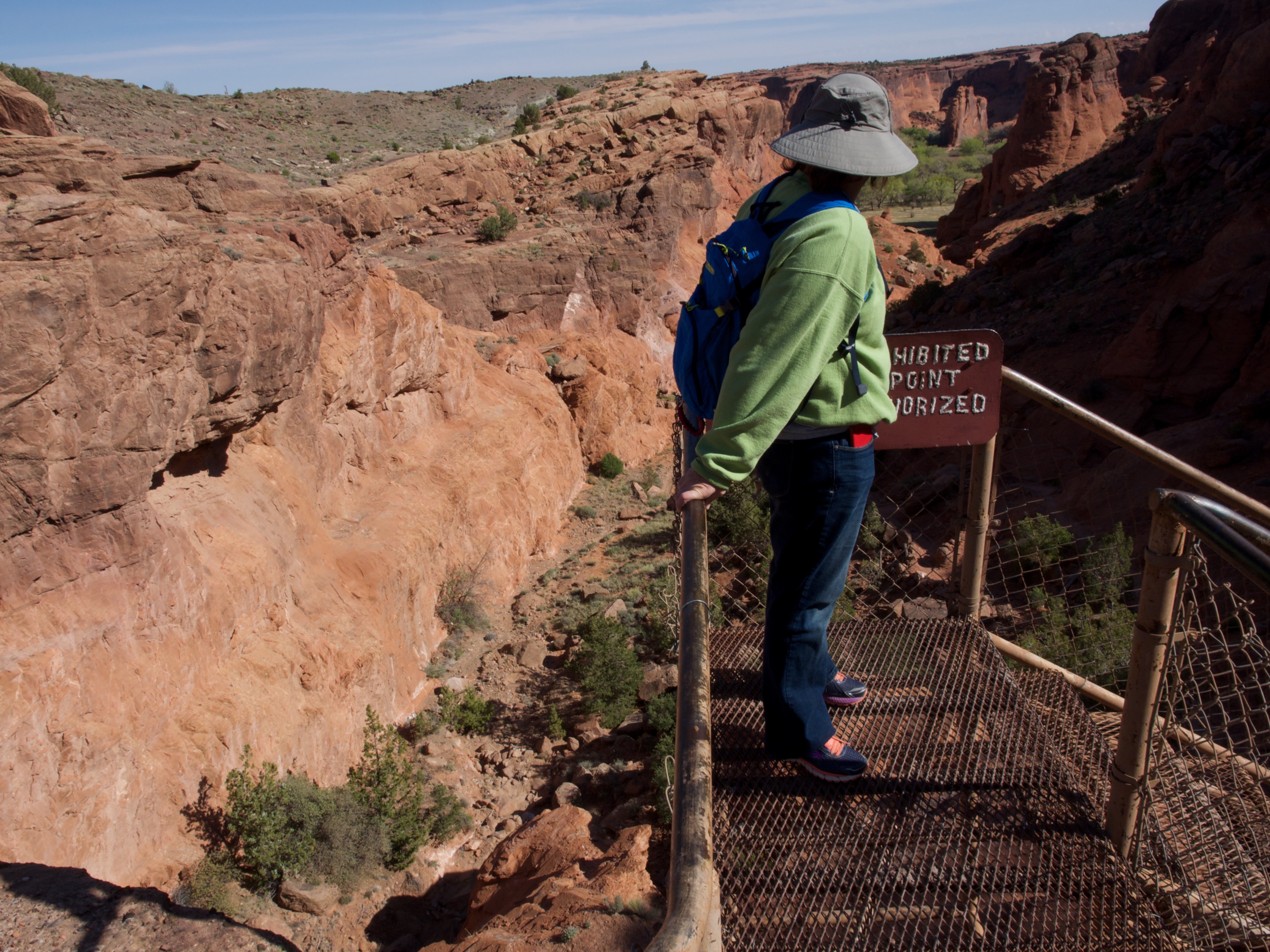
We hiked around at a historic site and learned about the importance of Lee’s Ferry.

OLYMPUS DIGITAL CAMERA


We found move cool lizards.

OLYMPUS DIGITAL CAMERA


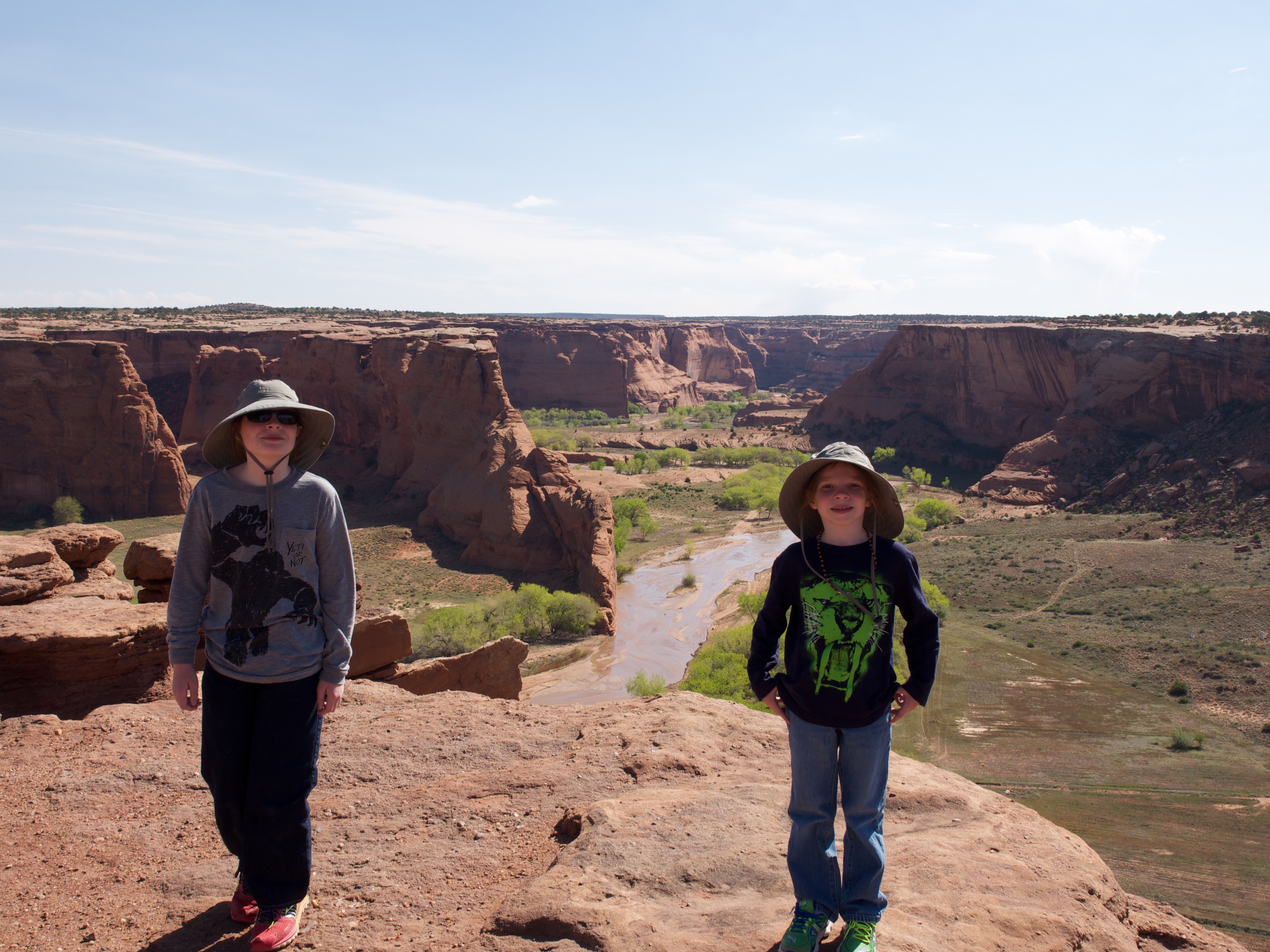
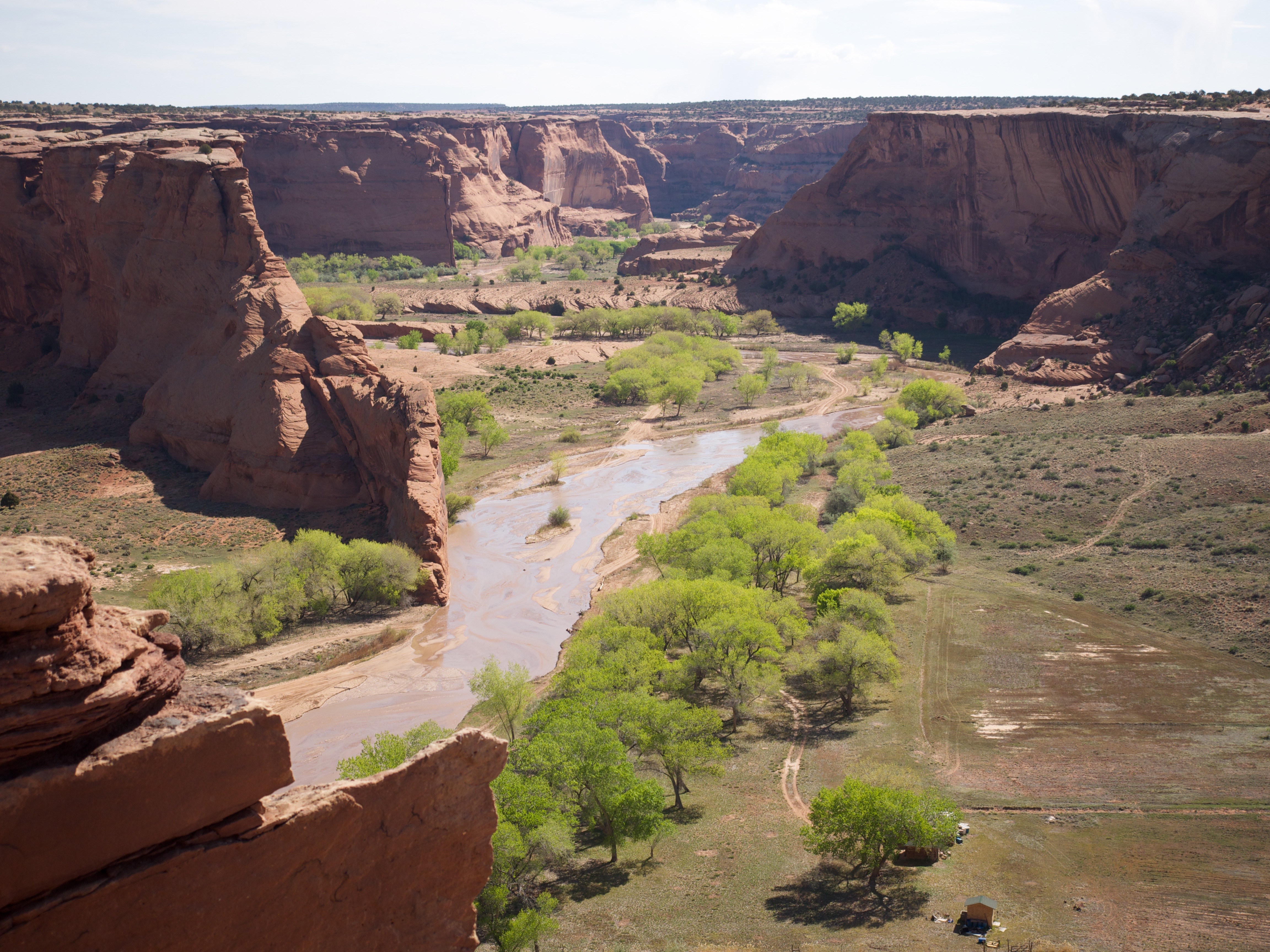
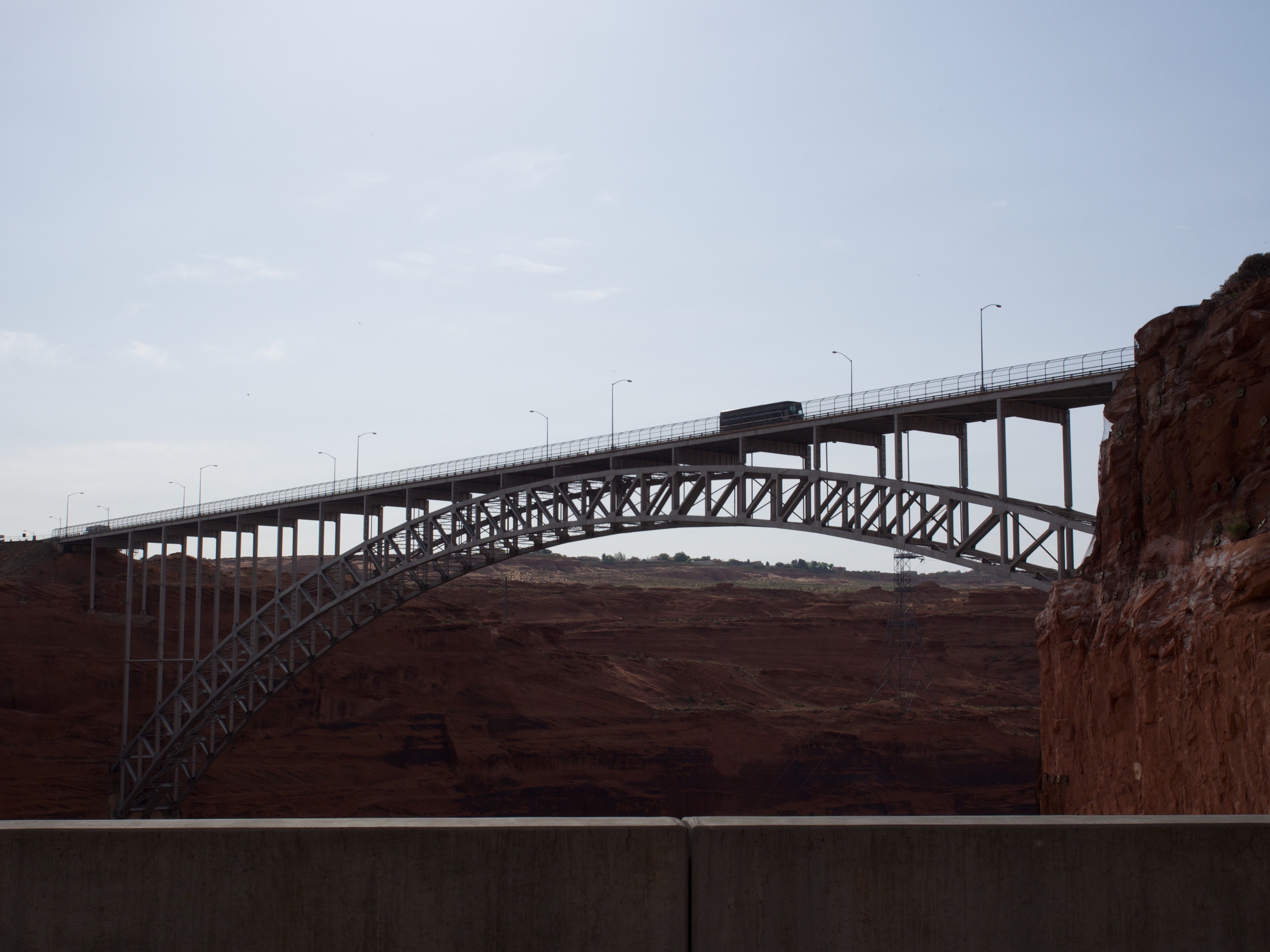
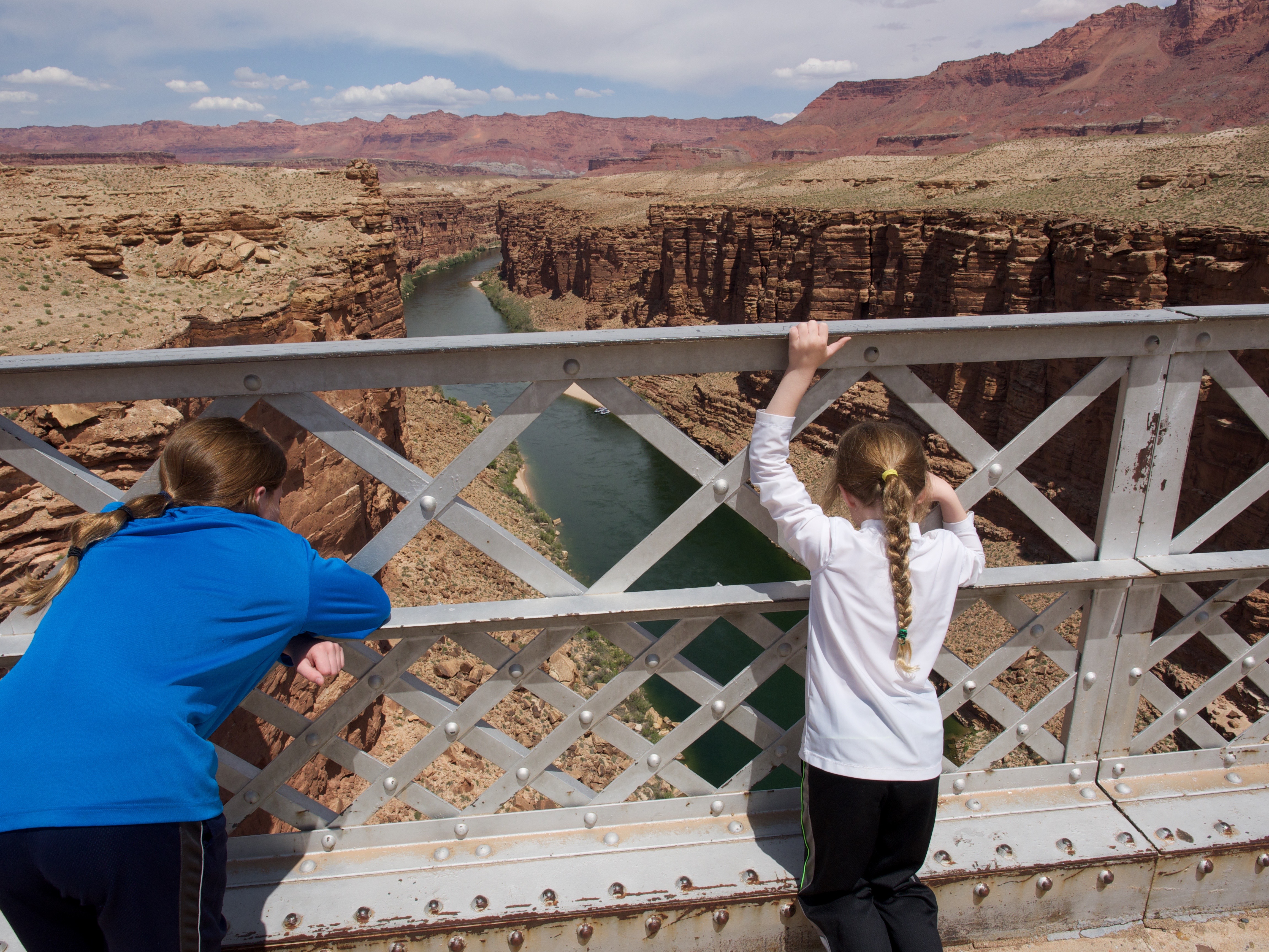
Next we drove to Navajo Bridge. We hiked out the bridge and looked down at the Colorado River below.

OLYMPUS DIGITAL CAMERA


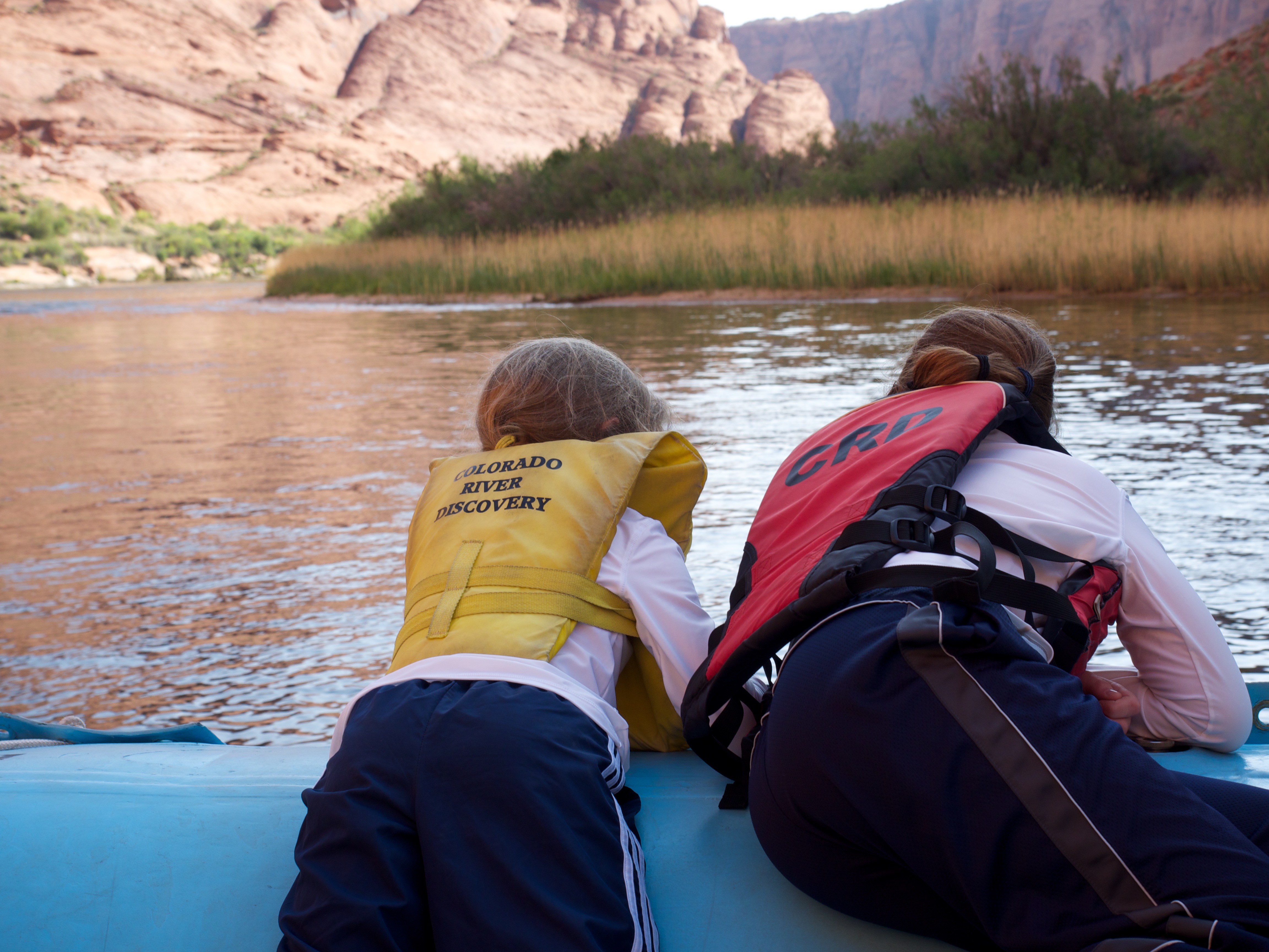
We called it a day and enjoyed some downtime in the camper. We were up early next morning and took a raft tour of the Colorado River. We boarded a pontoon type raft and enjoyed the chilly canyon views.

OLYMPUS DIGITAL CAMERA


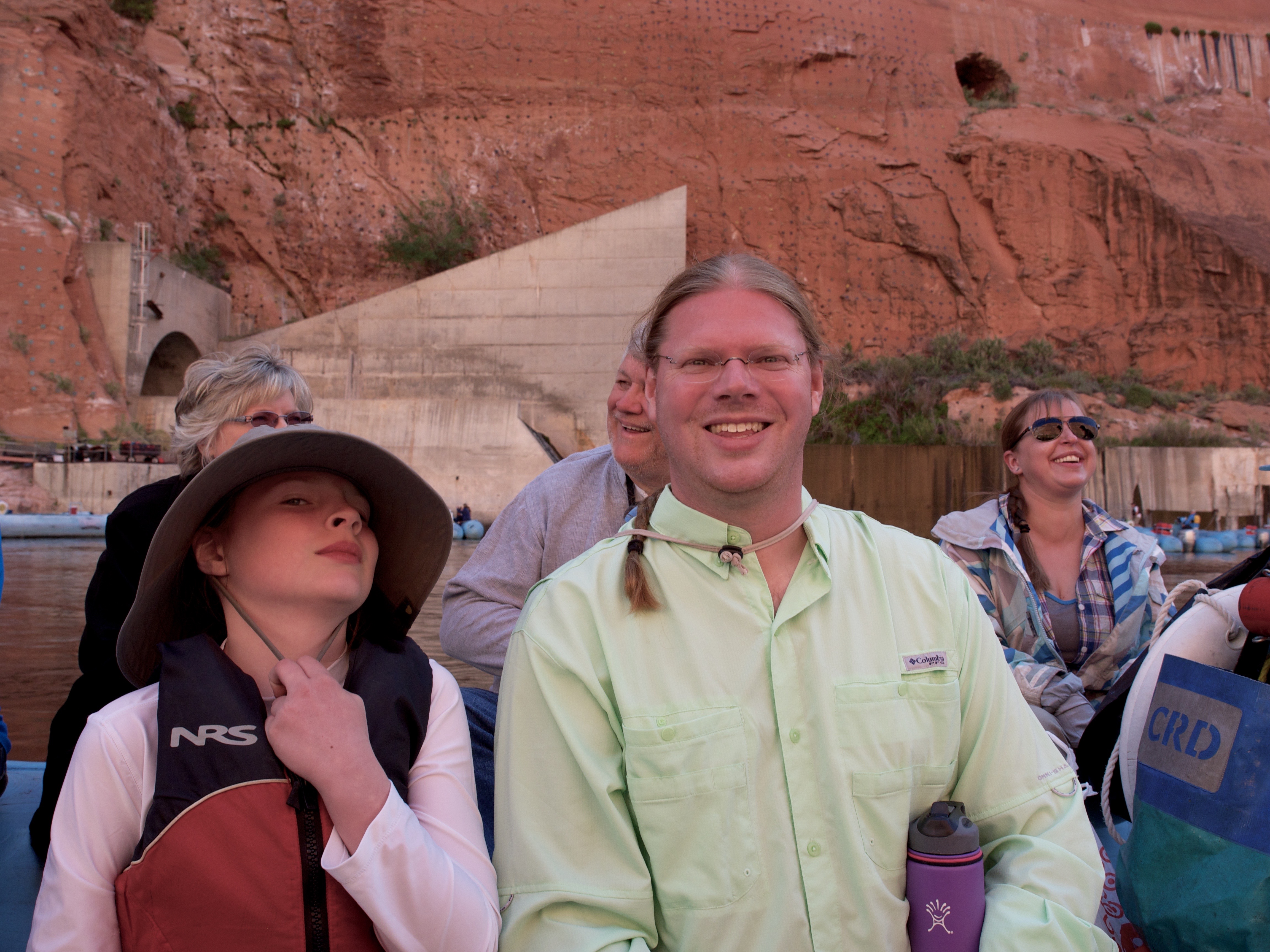
The views were spectacular and we learned about the history of the river. The guide was entertaining but it was his last week so he spent moots his time talking with a girl sitting by him. Oh well, we still had fun!

OLYMPUS DIGITAL CAMERA


I got a bit grumpy. In fact I have been a lot grumpy lately. I was cold, hungry and thirsty. All of those were fixable as we had food and snacks and life vests.

OLYMPUS DIGITAL CAMERA
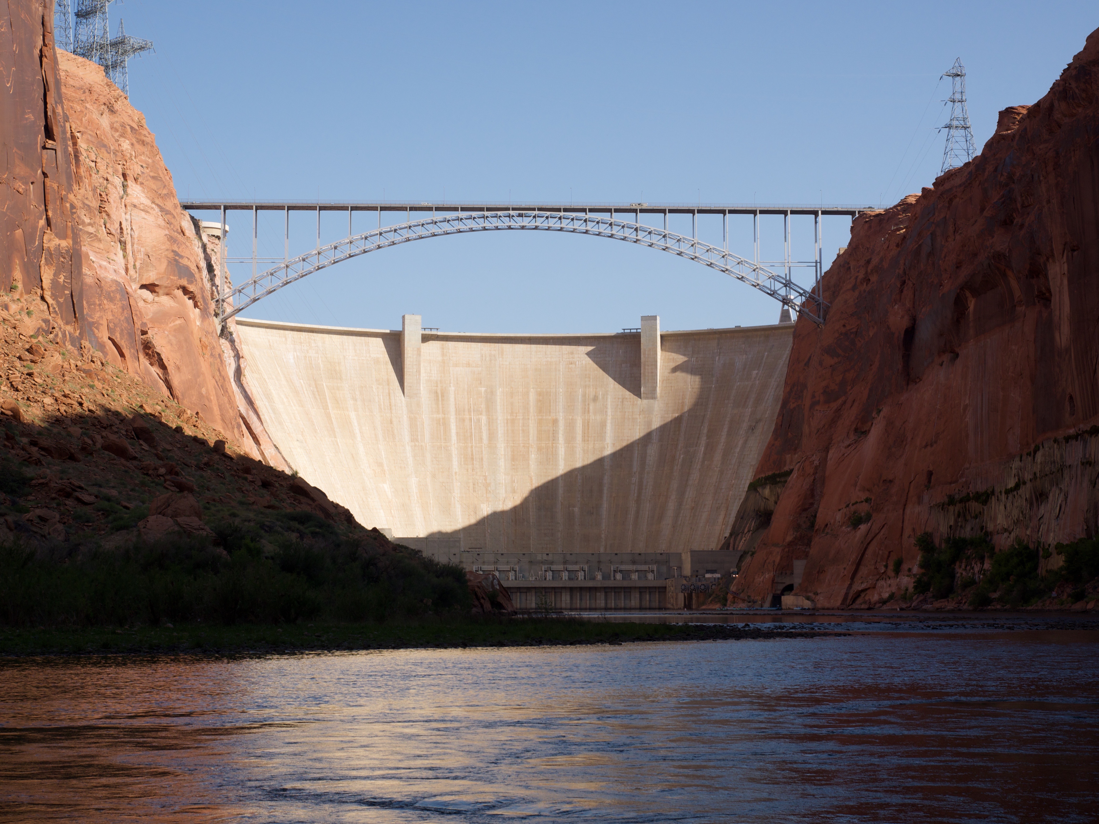
We got to see the dam from below. To get to the raft we had to take a bus through  2 mile long access tunnel that is restricted by Homeland Security. It was fun to drive through the mountain and see the inside of it!

OLYMPUS DIGITAL CAMERA


We saw Little Niagra… haha.

OLYMPUS DIGITAL CAMERA


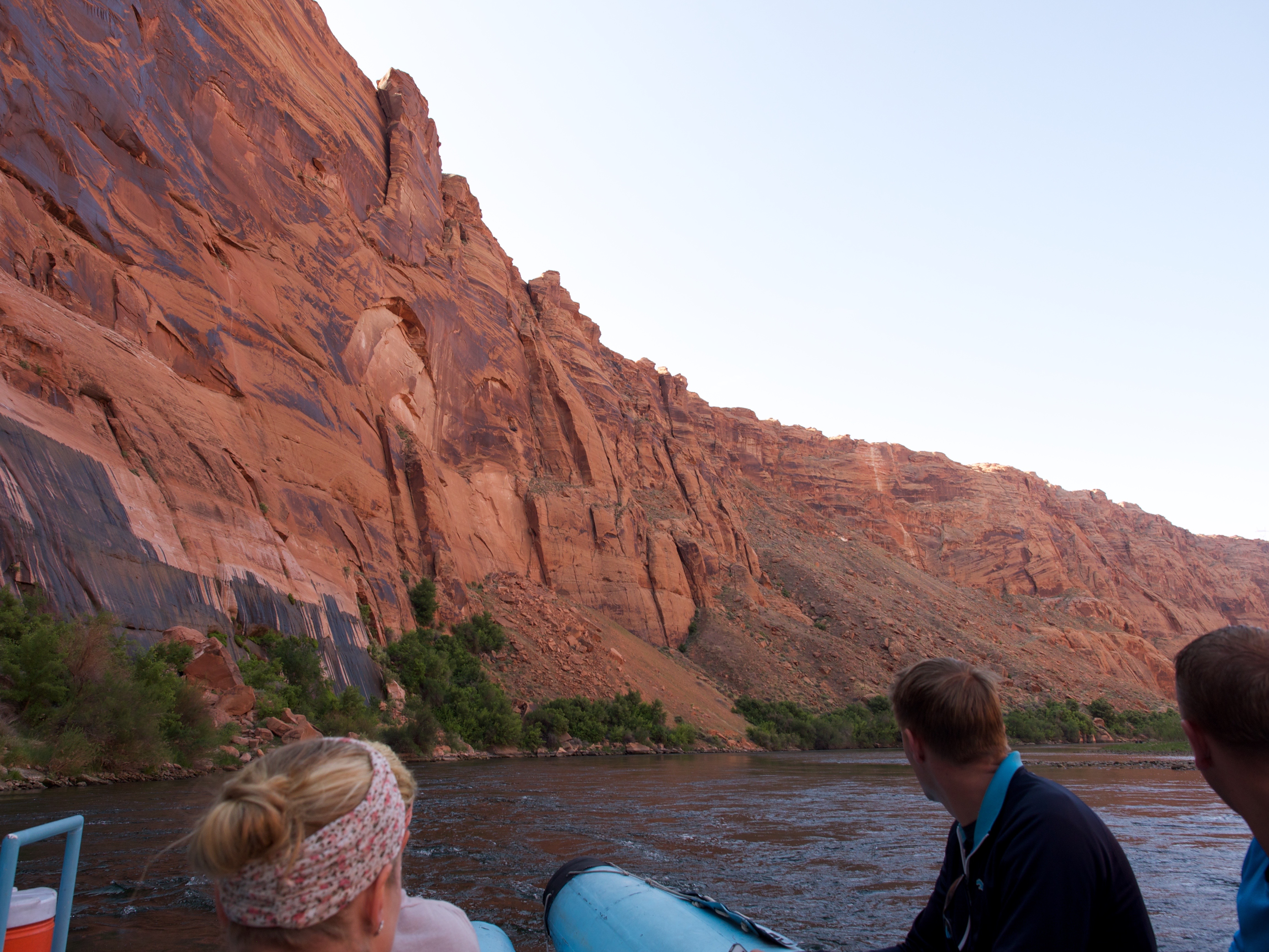
E and I spent most of the trip hanging out of the boat and looking into the water.

OLYMPUS DIGITAL CAMERA


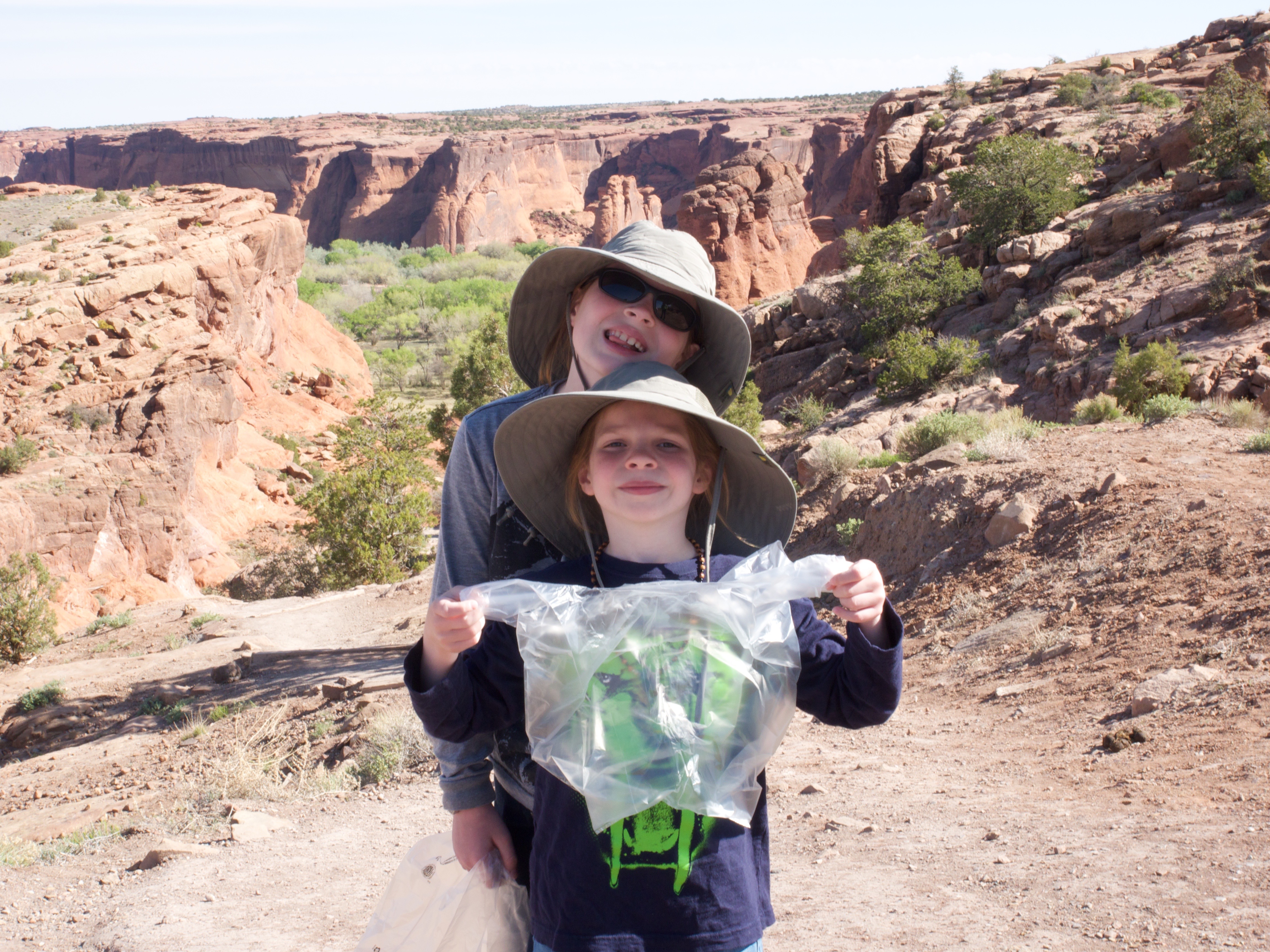
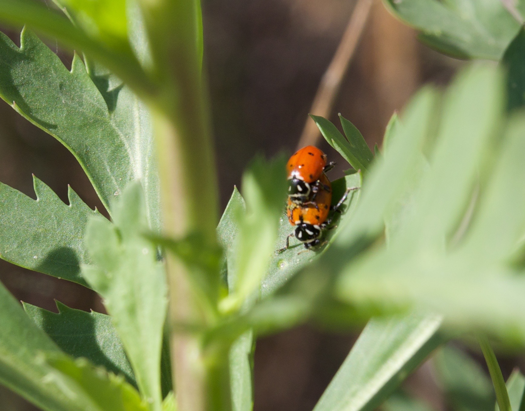
We stopped at Petroglyph Beach and I saw lots of wildlife. We saw mating ladybugs.

OLYMPUS DIGITAL CAMERA


A giant lizard called a chuckwalla.

OLYMPUS DIGITAL CAMERA


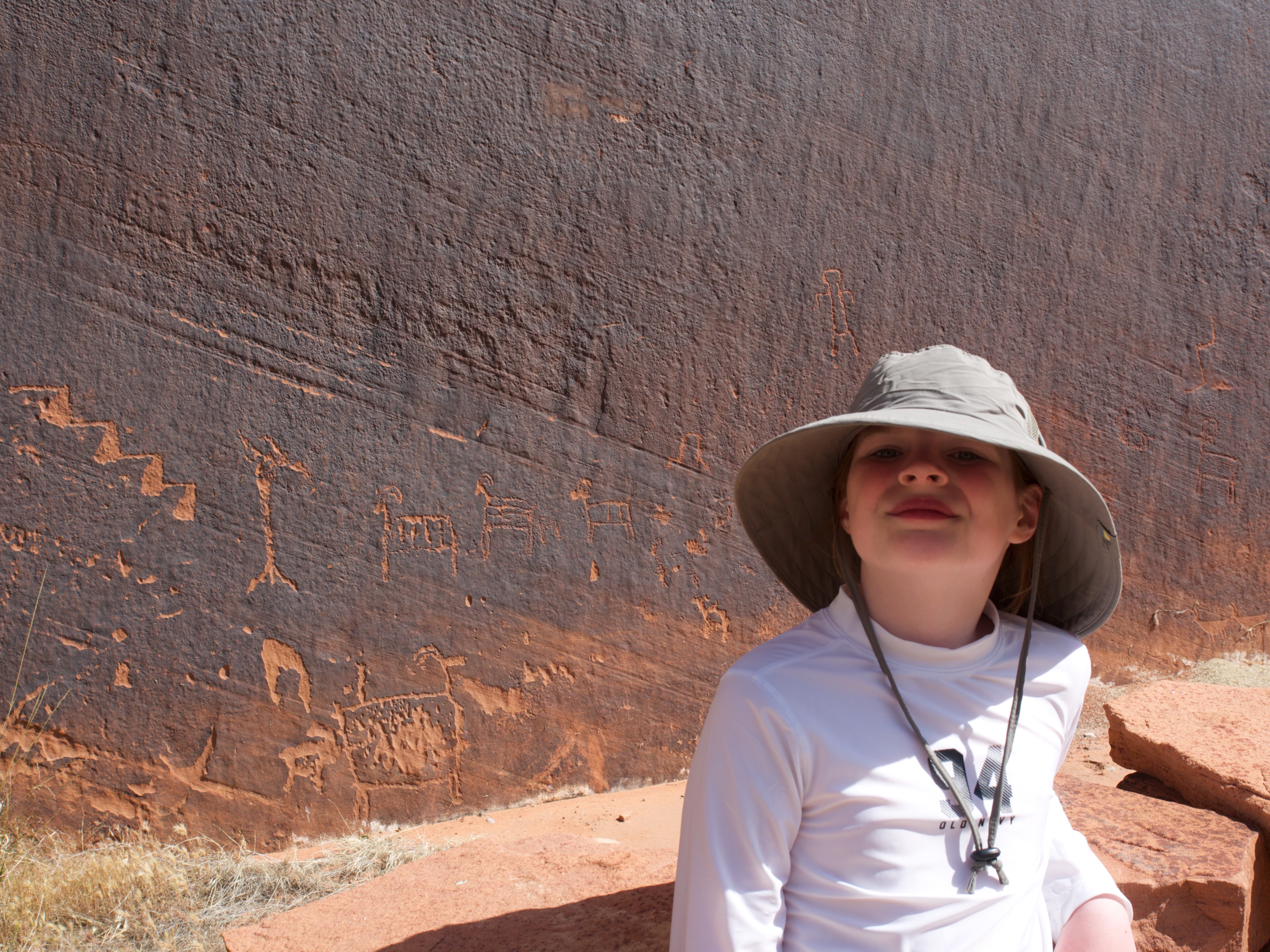
We hiked the trail and saw the petroglyphs of big horned sheep.

OLYMPUS DIGITAL CAMERA


We all got a giggle at the House Rules.

OLYMPUS DIGITAL CAMERA


We played on the bank of the river for a few minutes before we had to move along.

OLYMPUS DIGITAL CAMERA


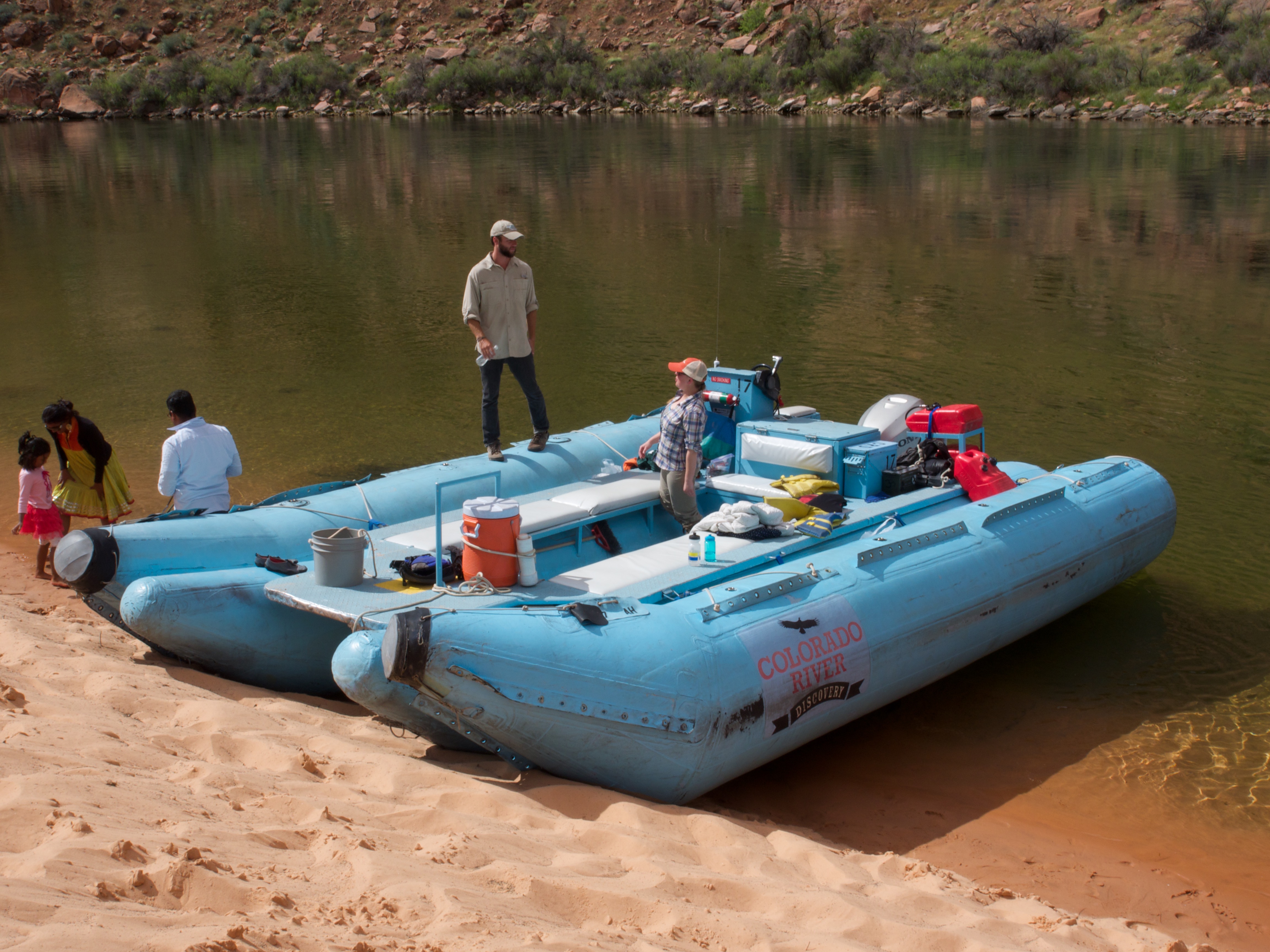
This is the giant boat we were riding in.

OLYMPUS DIGITAL CAMERA


Mom sat out on the edge with us for a while on the way back. Water was splashing up between the pontoons and our feet got wet.

OLYMPUS DIGITAL CAMERA


We have more to do here in Page but this is a good stopping point. More later!

Mesa Verde National Park in Colorado

We spent the last few days at Mesa Verde National Park in Colorado. We arrived a bit earlier than planned so spent our first afternoon and evening exploring the overlooks and a hike. We hiked down to Spruce Tree house to view Ancient Puebloan cliff dwellings from 1240-1270AD.

My class eye roll is showing up because I am feeling like there are a lot of photos!

OLYMPUS DIGITAL CAMERA

We took our time on the hike down and learned about local plants, how the cliff dwellings were established, all about seep springs and more about the history of the area.

OLYMPUS DIGITAL CAMERA

Walking through the old cliff dwelling was pretty awesome. You could see marks on the alcove ceilings where fire had burned in rooms to keep people warm. To farm they would climb up the cliff faces using finger and toe holds. That was how everyone got in and out of the dwellings.

OLYMPUS DIGITAL CAMERA

OLYMPUS DIGITAL CAMERA

OLYMPUS DIGITAL CAMERA

We got to climb down into a “kiva” which was part meeting place and part ceremonial. All of the dwellings we saw were centered around the kivas. Each family group seemed to have their own kiva.

OLYMPUS DIGITAL CAMERA

OLYMPUS DIGITAL CAMERA

We explored other uncovered ruins that were protected by newer constructed shelters. It was neat to think that these people lived here over 1000 years ago.

OLYMPUS DIGITAL CAMERA


We drove a trail on which we saw lots more examples of cliff dwellings. From one loop road we saw over 6 different sites searched high in the cliffs.

OLYMPUS DIGITAL CAMERA

OLYMPUS DIGITAL CAMERA

OLYMPUS DIGITAL CAMERA

OLYMPUS DIGITAL CAMERA


We saw “rare plants”. This plant only grows on the Cliff Palace area. It was called the Cliff Palace Milk Vetch.

OLYMPUS DIGITAL CAMERA


It was really pretty.

OLYMPUS DIGITAL CAMERA


This is Cliff Palace!

OLYMPUS DIGITAL CAMERA
The Sun Temple was HUGE! It was on top of the mesa though.

OLYMPUS DIGITAL CAMERA

OLYMPUS DIGITAL CAMERA


We explored the rest of Mesa Verde NP and even walked up to the highest elevation at 8572 feet above sea level.

OLYMPUS DIGITAL CAMERA


The views were amazing!

OLYMPUS DIGITAL CAMERA

OLYMPUS DIGITAL CAMERA


We explored the Far House sites in the chilly morning air.

OLYMPUS DIGITAL CAMERA

OLYMPUS DIGITAL CAMERA

OLYMPUS DIGITAL CAMERA


Then we headed back up the mesa for a tour of Balcony House.

OLYMPUS DIGITAL CAMERA


We had to hike a trail and then climb up a 30 foot ladder.

IMG_9766 IMG_9768

Once up the ladder we were in the courtyard of the little community in the cliff.

OLYMPUS DIGITAL CAMERA

OLYMPUS DIGITAL CAMERA


Our Ranger guide, Kaitlyn, was giving her final tour of there time here at Mesa Verde. She is off to Fishing Bridge at Yellowstone this wee

OLYMPUS DIGITAL CAMERA

OLYMPUS DIGITAL CAMERA

OLYMPUS DIGITAL CAMERA

OLYMPUS DIGITAL CAMERA

Since arrived a bit earlier than expected so we got a everything on our list done a day early. We opted, rather than just sit around for a day to move forward on to Glen Canton National Recreation Area a day early.

Four Corners

We made a quick stop off at Four Corners in the Navajo land to see the point where four states meet. I am standing in Colorado, Utan, Arizona and New Mexico… all at once!

OLYMPUS DIGITAL CAMERA

OLYMPUS DIGITAL CAMERA

You have to pay $5 a person to drive down a dirt road to the point. There were flea market type booths lining all sides of the area. We just made a quick stop and moved along.

Hubbell Trading Post in Ganado, Arizona

Hubbell Trading Post National Historic Site is a historic site with exhibit center in Ganado, Arizona. It is considered a meeting ground of two cultures between the Navajo and the settlers who came to the area to trade. We enjoyed touring the grounds and seeing the bakery, hogan, stables and trading post.

OLYMPUS DIGITAL CAMERA

OLYMPUS DIGITAL CAMERA

IMG_9756

We worked to get our Junior Ranger badges for Hubbell Trading Post and even got a patch!


Canyon de Chelly National Monument, Arizona

We visited Canyon de Chelly National Monument in Arizona. This was a day trip from our campsite in Gallup, New Mexico. Canyon de Chelly is part managed by the National Park Service and part by the Navajo Nation. There is a HUGE issue with litter and trash in the expansive park. The litter sadly comes from the locals that live on the park land and part from trash blowing in from he nearby Navajo land.  Part of the Junior Ranger program was to collect a bag of trash. We started with that as we explored the park.

OLYMPUS DIGITAL CAMERA
   OLYMPUS DIGITAL CAMERA

OLYMPUS DIGITAL CAMERA

We explored the many scenic pullouts and overlooks of the park.

OLYMPUS DIGITAL CAMERA

Mom was a bit scared to stand on some of the overlooks.

OLYMPUS DIGITAL CAMERA

It was pretty far down below to the ground and the railings looks a bit sketchy.

OLYMPUS DIGITAL CAMERA

Emmerson and I were fearless and scared Mom and Dad by running on the mesa right up to the unrolled edges of the canyon.

OLYMPUS DIGITAL CAMERA

The views were amazing so we decided to hike the White House Trail down into the canyon.

OLYMPUS DIGITAL CAMERA

It was a 1.25 mile trail down and as we hiked down re started thinking about the hike back up. Dad kept asking if we wanted to continue. We did!

OLYMPUS DIGITAL CAMERA

There were lots of shady spots to cool off and other spots in the warming sun.

OLYMPUS DIGITAL CAMERA

We hiked lower and lower into the canyon. I started to think about hiking out more. I wanted to press on but Emmerson was getting tired. Dad and I walked another few minutes and we made it about 3/4 of the way down and then busloads of kids showed up and we called it quits and hiked back out. The elevation change from 80ft above sea level at home to the 5000+ here made it tougher than we all thought to hike out. We made it out just fine and explored more of the park.

OLYMPUS DIGITAL CAMERA

I saw something on the map called “Spiders Spire” and we had to go check it out. We hiked down a trail and to an overlook. It was a 700 foot rock that never eroded like the areas around it.

OLYMPUS DIGITAL CAMERA

How awesome!


Canyon de Chelly was really beautiful and we enjoyed our time working on our Junior Ranger books, cleaning up trash and exploring the sites. We hiked back to the car and headed to the Ranger Station.

IMG_9751

We received our badges and took the Junior Ranger Pledge for this park.

IMG_9754

We talk a lot about Junior Ranger badges and patches. Here is some of the collection we have earned so far.

IMG_9757